
What is recorded here
Uncovered during construction work for a dwelling in 2001. On inspection Noel Ross (CLAJ 2000, 563-5) found a drystone built passage with lintelled roof and sufficient evidence to show that it was the same Man-made underground passage described by Edward Tipping in 1864 (JRSAI, 8 (1864-6), 183-4). Tipping noted that removal of a lintel revealed a passage 'about four feet high, and three wide, inclining downwards in a direction parallel to the slope of the bank. After twenty-three feet it turns at a right angle to the left, or towards the river; and, continuing thirteen feet six inches further, terminates, apparently built up square; but in the floor was seen a square hole, descending which, we find at a level about three feet lower, a continuation nineteen feet long, and in the same direction, which finally terminates in a circular space or chamber, both wider and higher than the passage leading to it.'
Compiled by: Claire Breen
Date of upload: 18 November 2011
The monument record does not grant public access. Check the route and ask the landowner before entering private land.
- What survives
- Recorded monument
Places near here
 Giants GraveWedge tomb · 337 yd
 Proleek DolmenArchaeological place · 398 yd
 DolmenPortal tomb · 401 yd
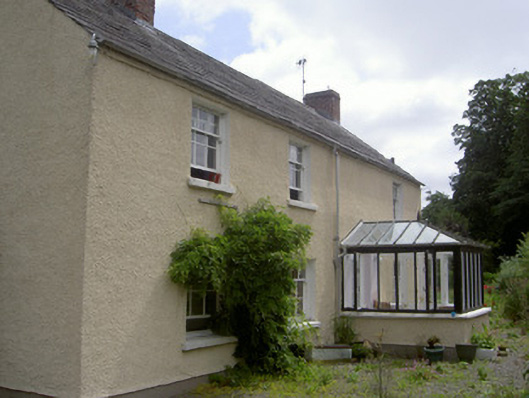 Bridge Househouse · 703 yd
 CastleCastle, tower house · 731 yd
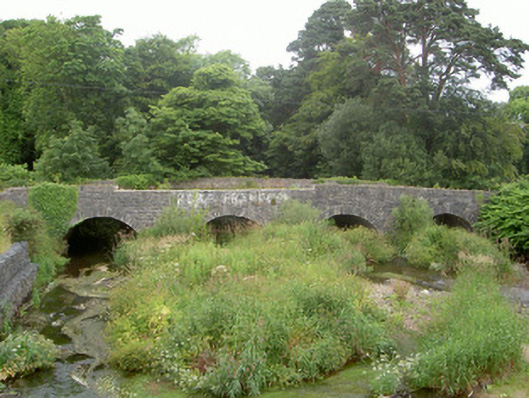 Ballymascanlan Bridgebridge · 750 yd
 Trumpet HillMountain / peak · 1618 yd
 Drumisnagh HillMountain / peak · 1.1 mi
 Battle of FaughartMajor battlefield · 1.7 mi
 Soldiers' PointHeadland · 1.8 mi
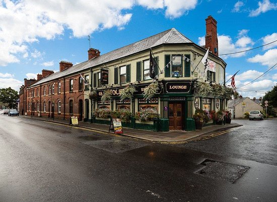 TSS DundalkMemorial · 2.0 mi
 Faughart MoundCastle, motte · 2.1 mi
Other information
Photo: Credit not shown in the picture search · Rights wording not checked; contact us if this picture should be removed