What is recorded here
Not marked on 1841 edition of the OS 6-inch map but hachured as a small oval enclosure (dim. c. 20m NW-SE) on subsequent editions Site levelled; no visible surface remains. Possibly a landscape feature. David Sweetman, Olive Alcock and Bernie Moran.
From the National Monuments Service (Archaeological Survey of Ireland) record LA009-013
The monument record does not grant public access. Check the route and ask the landowner before entering private land.
- What survives
- Recorded monument
Places near here
Photo credits
- Mike Searle, Geograph · CC BY-SA 2.0
- National Inventory of Architectural Heritage
- Ronnie Nijboer, Wikimedia Commons · CC0
- Sitomon, Wikimedia Commons · CC BY-SA 2.0
- AnTuisealGinideach, Wikimedia Commons · CC BY-SA 4.0
- Leendert Moret, Geograph · CC BY-SA 2.0
- Mike Searle, Wikimedia Commons · CC BY-SA 2.0
- Zairon, Wikimedia Commons · CC BY 4.0
- 瑞丽江的河水, Wikimedia Commons · CC BY-SA 4.0
 Rathdaire HouseCountry house · 128 yd
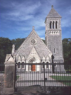 Church of the Ascension (Lea)Church/chapel · 461 yd
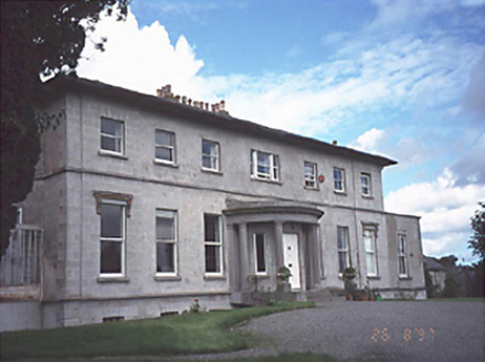 Rath HouseHouse · 1328 yd
 Wych Elm2.0 mi
 European Yew2.8 mi
 Emo CourtHeritage attraction · 3.0 mi
 Emo CourtCountry house · 3.0 miChurch (in Ruins), GraveyardChurch · 3.1 mi
 Morett Castle (in ruins)House, fortified house · 3.3 mi
 Lea Castle (in ruins)Castle, Anglo-Norman masonry castle · 3.8 mi
 Round Tower9.6 mi
 St. Brigids CathedralCathedral · 9.7 mi
More archaeology and monuments in County Laois · All of County Laois
What do you know about this place?