
What is recorded here
In pasture, located on top of a broad low rise or small knoll, effectively an island of dry ground surrounded by a flat expanses of damp pasture and boggy ground. There is a steep fall of ground at N–E, dropping at E to a flat marshy area. The slopes are more gradual to S and W, with a flat expanse of damp ground…
Read the whole record
From the National Monuments Service (Archaeological Survey of Ireland) record MA021-100001
Places near here
Photo credits
- Maker not stated on source page, es.pinterest.com
- Kmcnamee, Wikimedia Commons · CC BY-SA 4.0
- National Inventory of Architectural Heritage
- Maker not stated on source page, www.joinmychurch.com
- Maker not stated on source page, caerphilly.observer
- Mike Searle, Wikimedia Commons · CC BY-SA 2.0
- Maker not stated on source page, uk.pinterest.com
- Maker not stated on source page, www.newslocker.com
- Maker not stated on source page, en.wikipedia.org
 Megalithic tomb in BelladooanMegalithic tomb · 398 yd
Explorer Tom Megalithic tomb in Belladooan is bitter about not being as famous as the big boys. It spends its days glaring at the…
 Kilfian, Kilfian GAAGAA ground · 759 yd
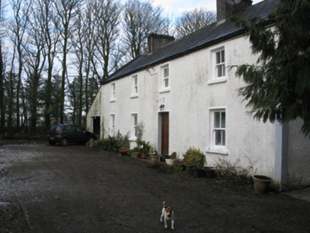 Doonanarroo HouseFarm house · 1266 yd
Explorer Tom Doonanarroo House in Mayo looks like it's trying to act tough for no reason. Its windows get smaller as you go up…
 Church in DrinaghanChurch · 1300 yd
Explorer Tom Church in Drinaghan is picking on it because the wind hates its architecture. It had an endowment of land, which sounds…
 Rathroe Castle (in Ruins)Castle, tower house · 1617 yd
Explorer Tom Rathroe Castle was saved by a hero nobody remembers, who probably just pushed a rock out of the way. The tower house…
 Rathroe CastleCastle · 1617 yd
Explorer Tom Rathroe Castle would win the lotto by buying a really big umbrella and wearing it like a hat. It’s got that quiet…
 Church in UnknownChurch · 1.0 mi
Explorer Tom Church holds the unofficial world record for being the most difficult place to find, beating even that one lost sock in…
 Farmhill HouseWalled garden · 1.2 mi
Explorer Tom Farmhill House is just a walled garden now because the house got demolished in 1950. Harriet Gardiner lived there, and…
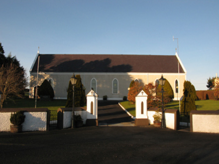 Catholic Church of the Sacred HeartChurch/chapel · 1.2 mi
Explorer Tom Catholic Church of the Sacred Heart in Kincon reviews its visitors like a strict aunt. It thinks your outfit lacks…
 Holy well in Carn (tirawley By., Moygawnagh. Par.)Holy well · 1.6 mi
Explorer Tom Holy well in Carn would survive a zombie attack by simply letting them slip on the wet moss and fall in. It’s just a…
 Earthwork in Carn (tirawley By., Moygawnagh. Par.)Earthwork · 1.6 mi
Explorer Tom Earthwork in Carn is the quiet uncle at the wedding who stands by the buffet table judging everyone’s food choices…
Fr Gilroy Memorial Park, Moygownagh GAAGAA ground · 2.4 miMore archaeology and monuments in County Mayo · All of County Mayo

What do you know about this place?Tap to add a comment or ask a question