What is recorded here
In pasture, located in a broad low rise or knoll, surrounded by a flat expanse of boggy ground.
According to local tradition, there is an 'underground passage' or possible Man-made underground passage at this location. It is associated with an earth and stone bank (L 19m E-W; Wth c. 4.5m), known locally as ‘moat’, which may be the remains of an enclosure (MA021-100001-). According to local information, the Man-made underground passage was used as a hide-out during the 1798 Rebellion. It is said to have been ‘opened’ or explored in 1910 by a local landowner, James Henry. There is no visible trace at ground level.
Compiled by: Jane O’Shaughnessy
Date of upload: 12 December 2019
This remains an important historical record, but the official description says the monument is no longer visible or has been destroyed. The monument record does not grant public access. Check the route and ask the landowner before entering private land.
- What survives
- No visible remains or recorded as destroyed
Places near here
 Brides WellHoly well · 1025 yd
 Cloontafinna FortArchaeological place · 1213 yd
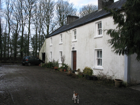 Doonanarroo Housefarm house · 1264 yd
 Rathroe CastleCastle · 1619 yd
 Farmhill Housewalled garden · 1.2 mi
 Carn Castle (in Ruins)Castle, unclassified · 1.6 mi
 Lisheen Grave YardArchaeological place · 3.4 mi
 Battle of Killalabattle · 5.0 mi
 BlowholeCliff · 8.4 mi
 Céide FieldsArchaeological place · 8.4 mi
 Grave of the KingsArchaeological place · 8.5 mi
 Céide Fields Visitor CentreVisitor information · 8.7 mi