
What is recorded here
Walled garden, extant 1838, on a skewed rectangular plan with boundary wall to perimeter. Now disused. Set in grounds originally shared with Farmhill House.
A walled garden surviving as an interesting relic of the Farmhill House estate following the demolition (1950) of the eponymous country house (1780) occupied by the notorious Harriet Gardiner (1821-92) who was described as 'a weird and grotesque figure and a baneful one [who] will long be remembered in County Mayo not alone for her semi-masculine attire and her repulsively eccentric ways but for the Pharaoh-like and utterly unfeminine hardness of heart which she exhibited for years towards a miserable and poverty stricken tenantry' (The Connaught Telegraph). Her companion, Susan "Susannah" Pringle (1826-1910), was equally vilified for her complicity in the evictions of tenants and the appearance of the pair at one particular court session was the subject of a scathing letter to "The Connaught Telegraph", believed to be from James Daly (1838-1911) writing under the pseudonym "O'Beirne", who vividly recounted: 'The Pringle hag kept, jack-in-the-box like, jumping up and down in her seat the whole time, grinning and working her worn out chops, much after the fashion of a Cheshire cat mumbling at sour cheese. This whole time the Gardiner hag seemed to be just recovering from a fit of somnolence [but] perhaps she was suffering from the want of the "hair" from "the dog" that had bittern her the previous night of early that same morning' (The Connaught Telegraph).
This does not grant access. Most recorded buildings are privately owned; view them only from public ground unless the owner allows entry.
Places near here
 Enclosure in Farmhill (tirawley By.)Enclosure · 571 yd
 RathcartronFairy fort / earthen ringfort · 853 yd
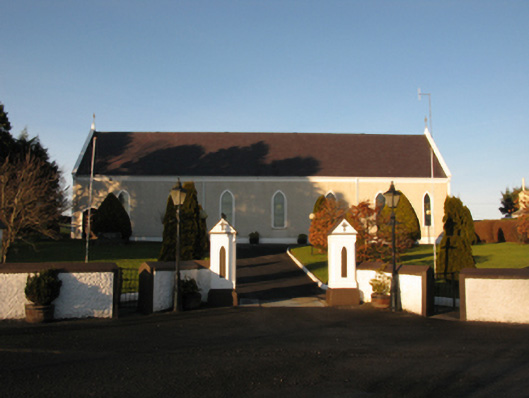 Catholic Church of the Sacred Heartchurch/chapel · 1.3 mi
 Church in RuinsChurch · 1.7 mi
 Rathroe CastleCastle · 1.8 mi
 Lisheen Grave YardArchaeological place · 2.3 mi
 Bawn in CarrickanassBawn · 2.7 mi
 Battle of Killalabattle · 5.0 mi
 PollatarriveCliff · 7.0 mi
 BlowholeCliff · 7.3 mi
 Céide FieldsArchaeological place · 7.5 mi
 WW2 Éire MarkerHeritage attraction · 7.6 mi
Other information
Photo: National Inventory of Architectural Heritage · Website use allowed for educational or private purposes with source credit