What is recorded here
An archaeological assessment in 2002 revealed a section of curvilinear ditch (L 15m, Wth 1.3m, D0.5-0.7m which produced Beaker pottery. Three features were revealed within the confines of the enclosure including a pit 0.4m in diameter and 0.2m deep which contained a small amount of burnt bone (Hagen, I 2006, 117).
From the National Monuments Service (Archaeological Survey of Ireland) record DU012-067
The monument record does not grant public access. Check the route and ask the landowner before entering private land.
- What survives
- Recorded monument
Places near here
 Donabate Railway StationSignal box · 85 yd
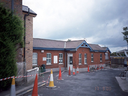 Donabate Railway StationRailway station · 114 ydStructure in DonabateStructure · 123 ydTowerCastle, tower house · 133 ydThe Red HouseMemorial · 344 ydOld Post OfficeMemorial · 378 yd
 Newbridge House and DemesneHeritage attraction · 1073 ydTourist InformationVisitor information · 1236 yd
 Lanestown Castle in ruinsCastle, tower house · 1.1 mi
 Martello Tower1.6 mi
 Donabate BeachBeach / strand · 1.7 mi
 Rush South BeachBeach / strand · 2.7 mi
Pictures: Albert Bridge, Wikimedia Commons · CC BY-SA 2.0; National Inventory of Architectural Heritage; Adc88 at en.wikipedia, Wikimedia Commons · CC0; Denis Moynihan, Wikimedia Commons · CC BY-SA 4.0; Dieglop, Wikimedia Commons · CC BY-SA 4.0; Peter Gerken, Geograph · CC BY-SA 2.0; jwd, Geograph · CC BY-SA 2.0
More archaeology and monuments in County Dublin · All of County Dublin
What do you know about this place?