What is recorded here
Situated on very gentle S facing slope in undulating pastureland, just off crest of low ridge. Site not depicted on 1st (1843) or 2nd (1952-53) ed. OS 6-inch map but showed up on aerial photograph (OS 0367/8) as a circular cropmark. No visible trace of site above ground.
Compiled by: Jean Farrelly and Caimin O'Brien
Date of upload/revision: 22 September 2008
This remains an important historical record, but the official description says the monument is no longer visible or has been destroyed. The monument record does not grant public access. Check the route and ask the landowner before entering private land.
- What survives
- No visible remains or recorded as destroyed
Places near here
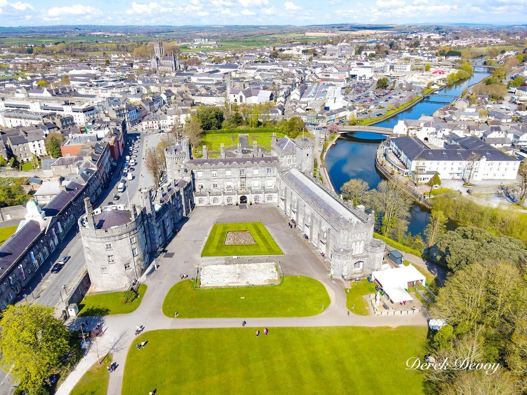 Killinane Castle (in ruins)Castle, unclassified · 972 yd
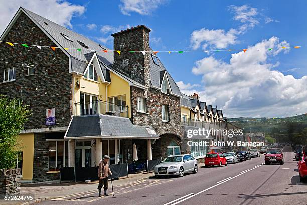 Enclosure in GlengarriffEnclosure · 1022 yd
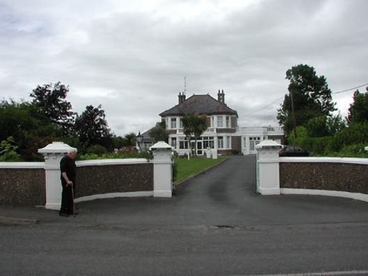 Ardeenhouse · 1056 yd
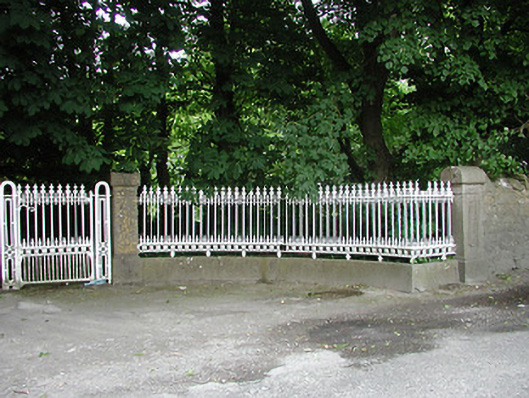 Glengarriff Housegates/railings/walls · 1124 yd
 European ashEuropean ash · 1244 yd
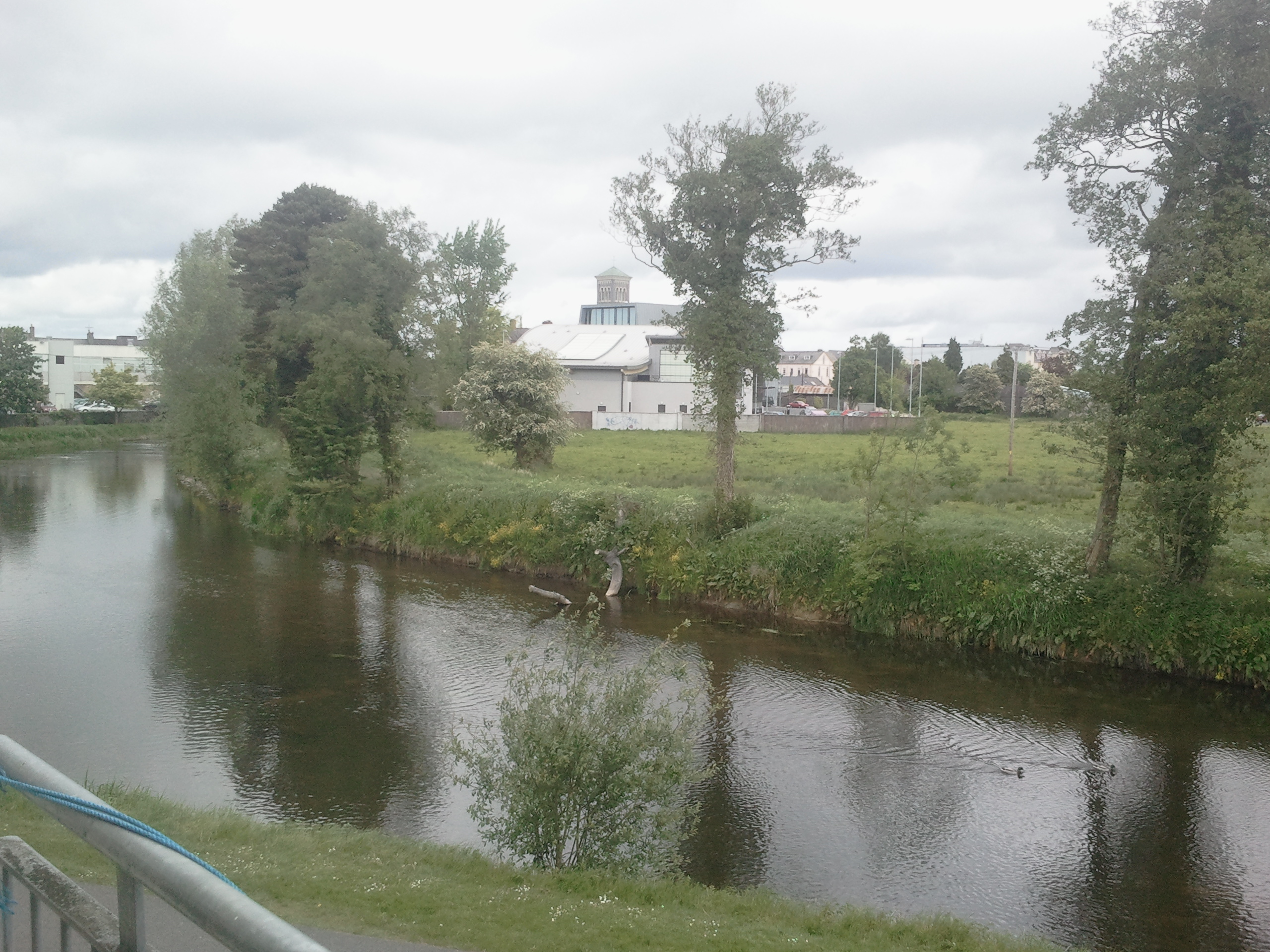 OutlinedCastle, motte · 1494 yd
 Town defences in Thurles TownparksTown defences · 1648 yd
 Lár na PáirceMuseum · 1720 yd
 Pheasant IslandHeritage attraction · 1.1 mi
 WoodlandWood · 1.7 mi
 Pallas HillMountain / peak · 5.1 mi
 KnockaneMountain / peak · 5.3 mi