What is recorded here
Located in large arable field close to the field’s N boundary, c. 148m NE of a large cropmark enclosure (DU014-102----), cropmarks indicate the presence of a subsurface ditch. The cropmarks are visible on Google Earth imagery on 24 June 2018 (viewed on 17 September 2020). The enclosure is subcircular in plan (diam. c. 32.3m N–S and c. 24.5m E–W). There is no evidence for an entrance gap through the ditch (Wth c. 2m). A linear cropmark, a subsurface ditch, can be seen adjoining the enclosure along its S perimeter.
Compiled by: Tom Condit
Uploaded on: 27 October 2020
The monument record does not grant public access. Check the route and ask the landowner before entering private land.
- What survives
- Recorded monument
Places near here
 The Old Red LionInn · 324 yd
 Ring-ditch in DubberRing-ditch · 394 yd
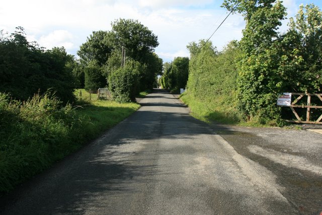 Ring-ditch in Coldwinters (castleknock By.)Ring-ditch · 659 yd
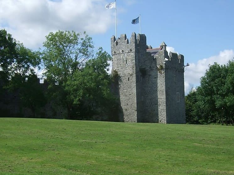 Dubber Castle (site of)Castle, unclassified · 914 yd
 Castle (site of)Castle, unclassified · 1344 yd
 Liam Ó MaoilíosaMemorial · 1678 yd
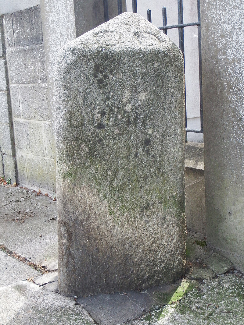 milestone/milepostmilestone/milepost · 1.1 mi
 Horizon Logistics ParkVisitor information · 1.1 mi
 Richard McKeeMemorial · 1.5 mi
 BallymunVisitor information · 2.0 mi
 BaldcypressBaldcypress · 2.8 mi
 Dawn RedwoodDawn Redwood · 2.8 mi