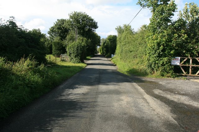
What is recorded here
Located in pasture (formerly the green of a golf course) between the Dublin-Ashbourne Road and the N2. A circular cropmark (diam. c. 15m) visible on an aerial photograph (CUCAP, BDQ 66). Not visible at ground level.
Compiled by: Geraldine Stout
Updated by: Christine Baker
Date of upload: 22 January 2015
The monument record does not grant public access. Check the route and ask the landowner before entering private land.
- What survives
- Recorded monument
Places near here
 Enclosure in Coldwinters (castleknock By.)Enclosure · 264 yd
 Earthwork in Johnstown (castleknock By., Blanchardstown Ed)Earthwork · 324 yd
 The Old Red LionInn · 842 yd
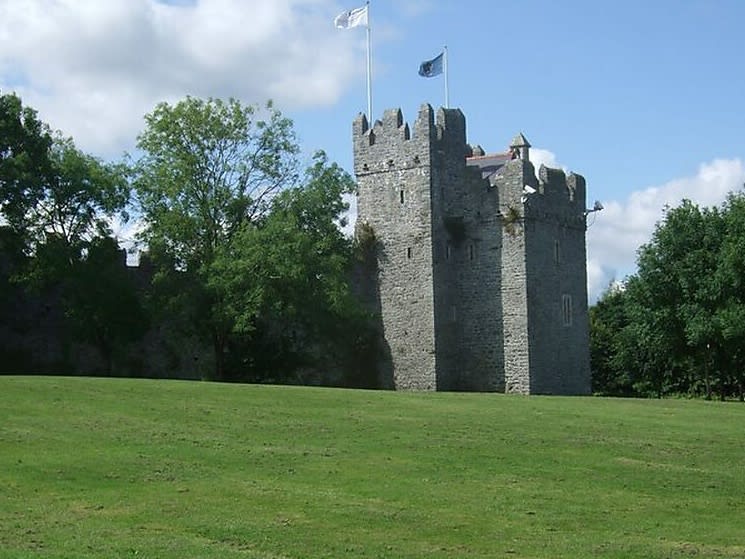 Dubber Castle (site of)Castle, unclassified · 1211 yd
 ChurchfieldChurch · 1287 yd
 Connaberry MoatCastle, motte and bailey · 1593 yd
 Horizon Logistics ParkVisitor information · 1.2 mi
 Liam Ó MaoilíosaMemorial · 1.3 mi
 Richard McKeeMemorial · 1.8 mi
 BallymunVisitor information · 2.3 mi
 BaldcypressBaldcypress · 3.2 mi
 Dawn RedwoodDawn Redwood · 3.2 mi
Other information
Photo: Credit not shown in the picture search · Rights wording not checked; contact us if this picture should be removed