
What is recorded here
In tillage field. Circular-shaped cropmark (diam. c. 45m) with possible outer enclosing ditches visible on Apple Maps orthoimage and Google Earth orthoimages.
See attached orthoimage taken from Apple Maps and Google Earth orthoimages
Compiled by: Caimin O'Brien based on details provided by Jean-Charles Caillère
Date of upload: 21 December 2022
The monument record does not grant public access. Check the route and ask the landowner before entering private land.
- What survives
- Recorded monument
Places near here
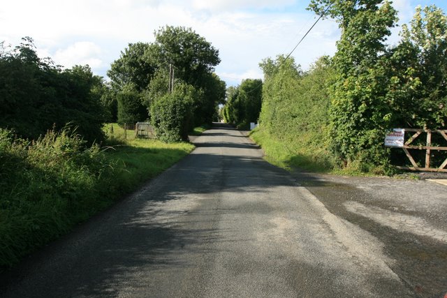 Ring-ditch in Coldwinters (castleknock By.)Ring-ditch · 324 yd
 Enclosure in Coldwinters (castleknock By.)Enclosure · 555 yd
 The Old Red LionInn · 1121 yd
 ChurchfieldChurch · 1122 yd
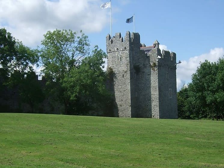 Dubber Castle (site of)Castle, unclassified · 1533 yd
 Connaberry MoatCastle, motte and bailey · 1687 yd
 Liam Ó MaoilíosaMemorial · 1.3 mi
 Horizon Logistics ParkVisitor information · 1.4 mi
 Richard McKeeMemorial · 1.9 mi
 BallymunVisitor information · 2.5 mi
 BaldcypressBaldcypress · 3.2 mi
 Dawn RedwoodDawn Redwood · 3.3 mi
Other information
Photo: Credit not shown in the picture search · Rights wording not checked; contact us if this picture should be removed