What is recorded here
A large circular enclosure visible as a crop mark on an aerial photograph (SMR file; pers. comm. T. Condit). Relatively low lying field north of M50 and west of N2. No vsible remains.
Compiled by: David O’Connor
Updated by: Christine Baker
Date of upload: 25 January 2015
The monument record does not grant public access. Check the route and ask the landowner before entering private land.
- What survives
- Recorded monument
Places near here
 Ring-ditch in DubberRing-ditch · 411 yd
 The Old Red LionInn · 456 yd
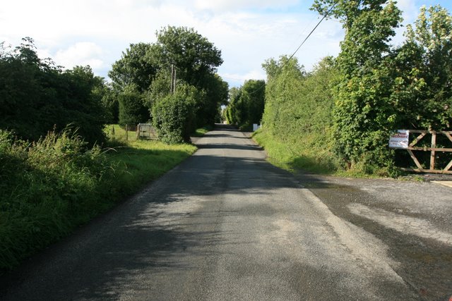 Ring-ditch in Coldwinters (castleknock By.)Ring-ditch · 889 yd
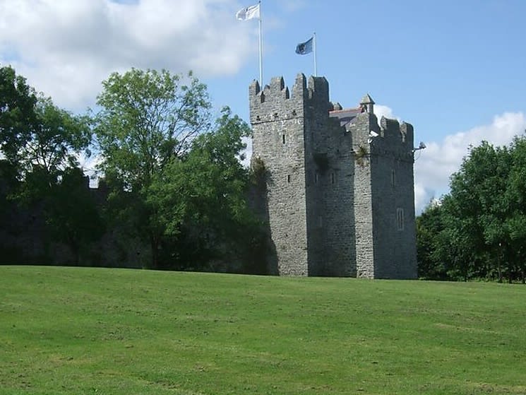 Dubber Castle (site of)Castle, unclassified · 1053 yd
 Castle (site of)Castle, unclassified · 1222 yd
 Liam Ó MaoilíosaMemorial · 1417 yd
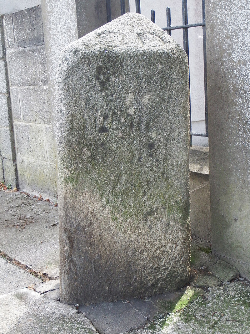 milestone/milepostmilestone/milepost · 1635 yd
 Horizon Logistics ParkVisitor information · 1.2 mi
 Richard McKeeMemorial · 1.4 mi
 BallymunVisitor information · 1.9 mi
 BaldcypressBaldcypress · 2.7 mi
 Dawn RedwoodDawn Redwood · 2.7 mi