What is recorded here
In reclaimed grassland. Outline of circular-shaped area (approx. diam. 30m) defined by a fosse visible on OSi orthophoto. Only cropmark of levelled enclosure visible on Digital Globe orthoimage taken 2011-13.
Compiled by: Caimin O'Brien
Date of upload: 24 June 2020
The monument record does not grant public access. Check the route and ask the landowner before entering private land.
- What survives
- Recorded monument
Places near here
 Lissadin - HachuredFairy fort / earthen ringfort · 798 yd
 Burial Gd.Graveyard · 925 yd
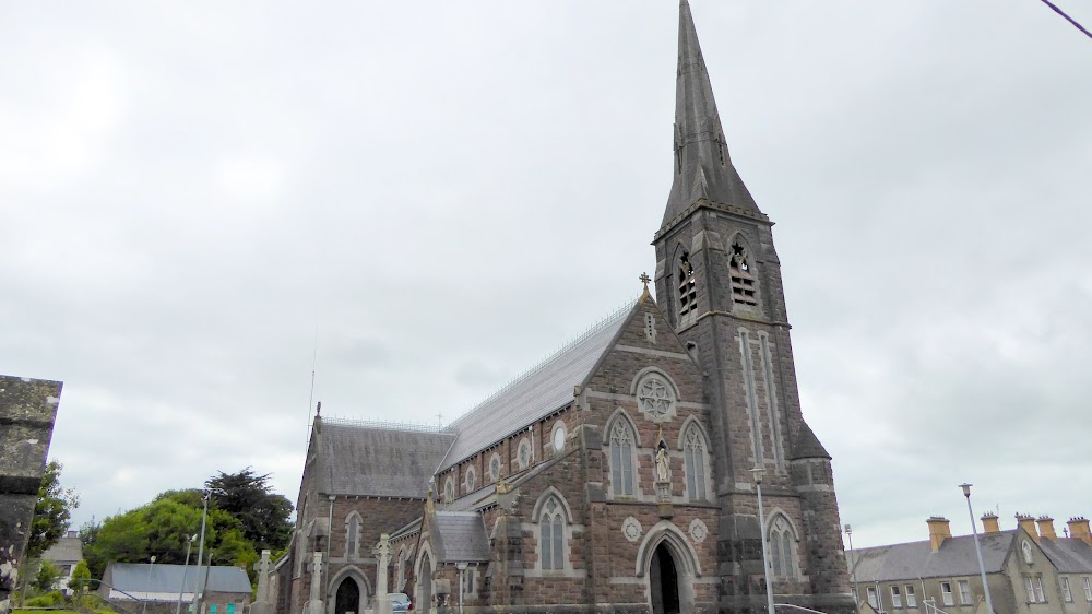 Church (in Ruins)Church · 1.1 mi
 European ashEuropean ash · 1.1 mi
 post boxpost box · 1.1 mi
 CastleCastle, tower house · 1.3 mi
 Glebe CastleCastle · 1.8 mi
 LaghtpatrickSpring · 2.1 mi
 TobernablahySpring · 2.6 mi
 Flat cemetery in CroaghFlat cemetery · 4.1 mi
 Flat cemetery in Kiltenan SouthFlat cemetery · 4.8 mi
 St. Bernards WellHoly well · 1.1 mi