What is recorded here
On a broad SE slope. A circular enclosure (overall diam 52m) identified from aerial imagery appearing as a low platform or mound with a broad levelled bank and concave interior. First reported by Jean Charles Caillére and seen on Google Earth maps on the 24/01/2018. Also visible on the Digital Globe when compiled. CO032-026----, a fulacht fia, lies beyond an adjacent field boundary upslope to the NE.
Compiled by: Margaret Keane
Uploaded on: 14 January 2022
The monument record does not grant public access. Check the route and ask the landowner before entering private land.
- What survives
- Recorded monument
Places near here
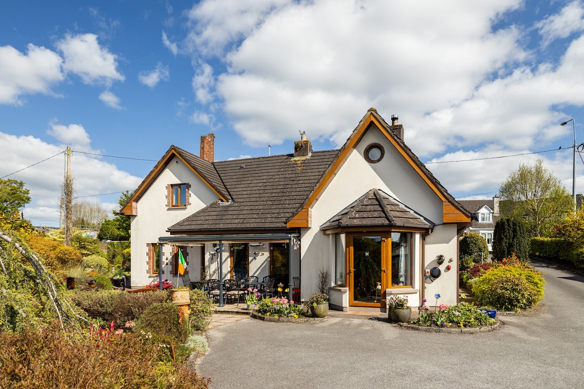 Ballythomas HouseCountry house · 261 yd
 Kilpatrick HouseCountry house · 525 yd
 Enclosure in Kilpatrick (duhallow By.)Enclosure · 1023 yd
 Burnt spread in KilmichaelBurnt spread · 1034 yd
 Lohort CastleCastle, tower house · 1.2 mi
 CastleBawn · 1.7 mi
 Dromaneen CastleHeritage attraction · 2.0 mi
 Graveyard in Ballygiblin (duhallow By.)Graveyard · 2.3 mi
 European YewEuropean Yew · 3.6 mi
 Burial ground in AssolasBurial ground · 3.8 mi
 Mount HillaryMountain / peak · 4.2 mi
 Mount Hillary - Knightfield LoopWalking route · 4.2 mi