What is recorded here
In level pasture on E flood plain of River Suir. Adjoining enclosure (TS068-145----) to S. Roughly D-shaped area (dims. c. 9m N-S; c. 13m E-W) defined by low earthen bank (Wth 6.5m; int. H 0.1m; ext. H 0.35m) SW-N-E. Conjoined fosse forms a gently curving side of annexe to S. Interior slopes gently down to conjoined fosse at S. Small stream along E field boundary.
Compiled by: Jean Farrelly
Date of upload: 26 August 2011
The monument record does not grant public access. Check the route and ask the landowner before entering private land.
- What survives
- Recorded monument
Places near here
 Enclosure in BallyslatteenEnclosure · 151 yd
 New Bridgebridge · 263 yd
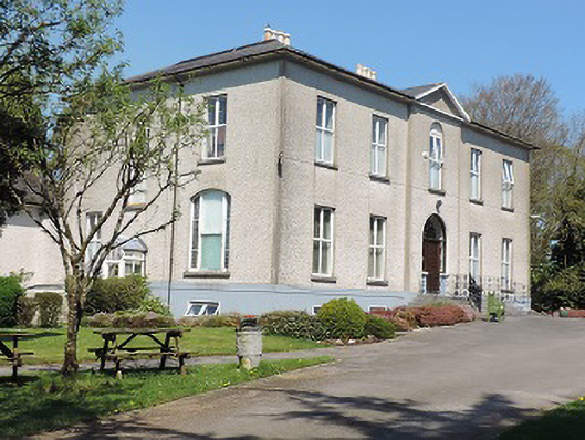 Cuan Mhuirecountry house · 509 yd
 Suir CastleCastle · 1201 yd
 RathgallenFairy fort / earthen ringfort · 1452 yd
 CastleCastle, unclassified · 1.0 mi
 Athassel PrioryHeritage attraction · 1.5 mi
 Caucasian zelkovaCaucasian zelkova · 3.3 mi
 Pedunculate OakPedunculate Oak · 3.8 mi
 Slieveanard NE TopMountain / peak · 4.8 mi
 SturrakeenMountain / peak · 5.4 mi
 The RockViewpoint · 7.0 mi