
What is recorded here
An enclosure is marked on the Grand Jury map of Co. Waterford dated 1819 at Ballyshonock (NLI: 16 J 4). It is placed close to the N edge of the townland and the boundary with Hacketstown, and could be in either but it is unlocated. Another enclosure (WA016-065----) on the same map is placed further S.
Compiled by: Michael Moore.
Date of upload: 29th September, 2011.
The monument record does not grant public access. Check the route and ask the landowner before entering private land.
- What survives
- Recorded monument
Places near here
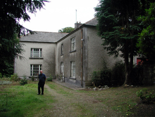 Knockaderry Househouse · 803 yd
 Field boundary in Ardeenloun EastField boundary · 818 yd
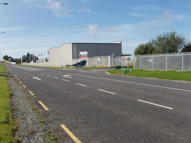 Enclosure in Ballygarran (middlethird By., Newcastle Par.)Enclosure · 838 yd
 Site of CastleCastle, unclassified · 1072 yd
 Church in Kilmoyemoge EastChurch · 1.5 mi
 Waterford & Suir Valley RailwayHeritage attraction · 3.1 mi
 Glenhouse WoodForest · 3.2 mi
 St. Martin's WellSpring · 3.4 mi
 CastleCastle, unclassified · 3.6 mi
 Sargent's magnoliaSargent's magnolia · 3.6 mi
 Donnell's HillMountain / peak · 3.7 mi
 St. Bernard's WellSpring · 4.0 mi
Other information
Photo: Credit not shown in the picture search · Rights wording not checked; contact us if this picture should be removed