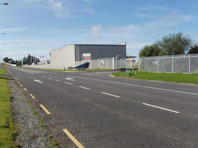
What is recorded here
On the S bank of a river flowing NW-SE, which flows into the Dawn River, in pasture. A sub-rectangular enclosure (diam. c. 40m NW-SE; c. 25m NE-SW) identified by Lidar commissioned by Transport Infrastructure Ireland (pers. comm. Simon Dowling 4 February 2018) and visible on Bing Maps - aerial (https://binged.it/2D49TUN).
Compiled by: Jean Farrelly
Date of upload: 7 March 2018
The monument record does not grant public access. Check the route and ask the landowner before entering private land.
- What survives
- Recorded monument
Places near here
 Field boundary in Ardeenloun EastField boundary · 733 yd
 Font in Ardeenloun EastFont · 791 yd
 Site of CastleCastle, unclassified · 792 yd
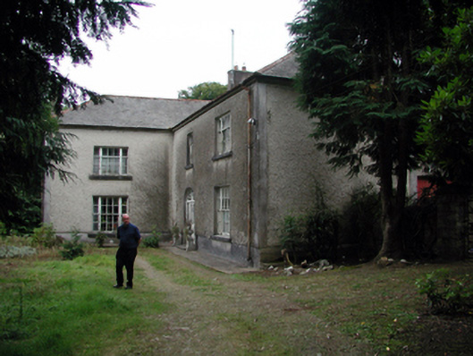 Knockaderry Househouse · 1557 yd
 Church in Kilmoyemoge EastChurch · 1.2 mi
 Glenhouse WoodForest · 2.8 mi
 Waterford & Suir Valley RailwayHeritage attraction · 2.9 mi
 Donnell's HillMountain / peak · 3.3 mi
 CastleCastle, unclassified · 3.5 mi
 Sargent's magnoliaSargent's magnolia · 3.6 mi
 St. Martin's WellSpring · 3.8 mi
 Mount Congreve GardensHeritage attraction · 4.0 mi
Other information
Photo: Credit not shown in the picture search · Rights wording not checked; contact us if this picture should be removed