What is recorded here
On a terrace on a NE-facing slope in rolling grassland. Enclosure is indicated on the 1st (1839) ed. OS 6-inch map and on the 1900 revision where it is depicted as a sub-circular area (max. dims. c. 40m N-S; c. 44m E-W), the N and E quadrants are straight sides while the SE-S-NW is curving. The monument has been levelled and is not visible at ground level.
Compiled by: Jean Farrelly
Date of upload: 31 January 2018
The monument record does not grant public access. Check the route and ask the landowner before entering private land.
- What survives
- Recorded monument
Places near here
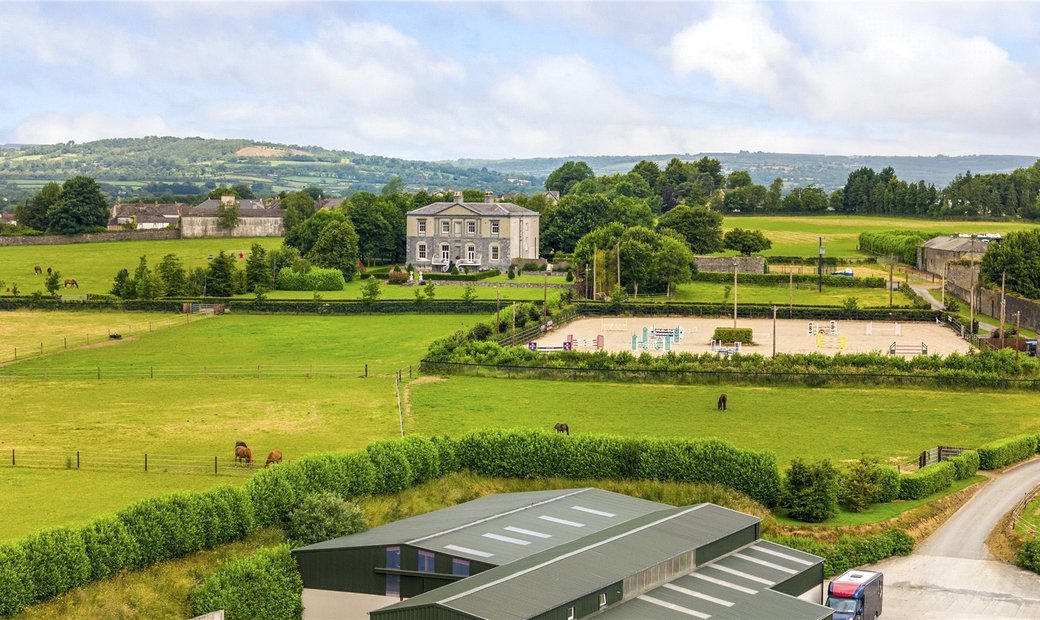 Enclosure in BallygowneyEnclosure · 1303 yd
 Enclosure in LisdowneyEnclosure · 1317 yd
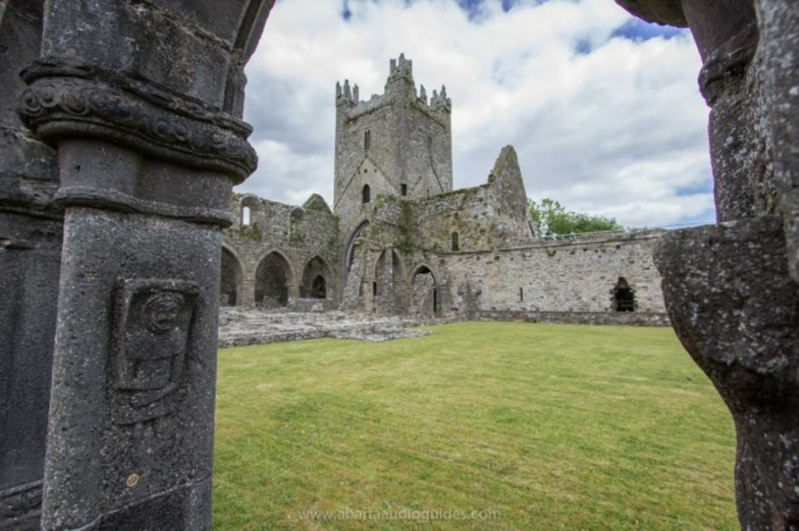 Church in Tifeaghna (browne)Church · 1.3 mi
 Killsheffin Burying GroundChurch · 1.4 mi
 Balleen Castle (ruins)Castle · 1.5 mi
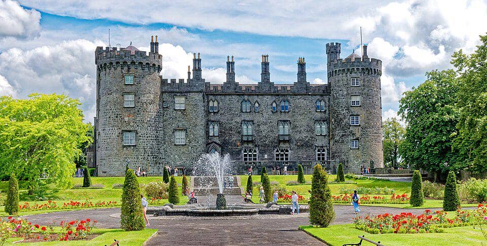 CastleCastle, unclassified · 1.5 mi
 The CopseWood · 3.7 mi
 Street fieldArchaeological place · 3.8 mi
 Clomantagh HillMountain / peak · 4.0 mi
 Anker's IslandIsland · 4.1 mi
 DelaneyMemorial · 5.5 mi
 Cnoc SeanrathaMemorial · 7.0 mi