
What is recorded here
On a fairly steep S-facing slope of valley, in rolling grassland. A circular enclosure (diam. c. 20m) with possible linear features (KK009-011002-) extending to the S was identified on an aerial photograph (GSI roll 43, print 20). It is not visible at ground level.
Compiled by: Jean Farrelly
Date of upload: 29 January 2018
The monument record does not grant public access. Check the route and ask the landowner before entering private land.
- What survives
- Recorded monument
Places near here
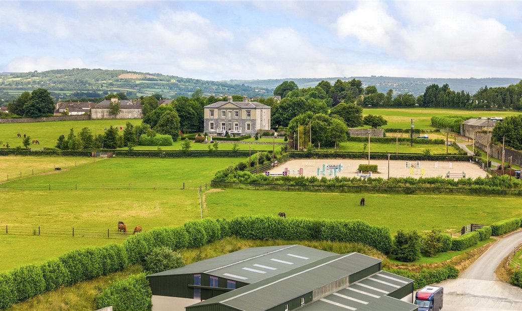 Enclosure in BallygowneyEnclosure · 1452 yd
 Ballygowney RingfortArchaeological place · 1481 yd
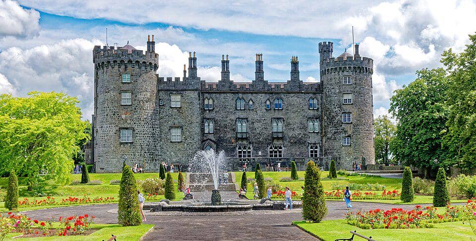 CastleCastle, unclassified · 1.4 mi
 Church (in ruins)Church · 1.5 mi
 Foyle Bridgebridge · 1.7 mi
 Bawn in BallykealyBawn · 1.8 mi
 Street fieldArchaeological place · 3.3 mi
 Anker's IslandIsland · 3.9 mi
 Clomantagh HillMountain / peak · 4.2 mi
 The CopseWood · 4.4 mi
 John HelyMemorial · 5.5 mi
 DelaneyMemorial · 5.5 mi
Other information
Photo: Credit not shown in the picture search · Rights wording not checked; contact us if this picture should be removed