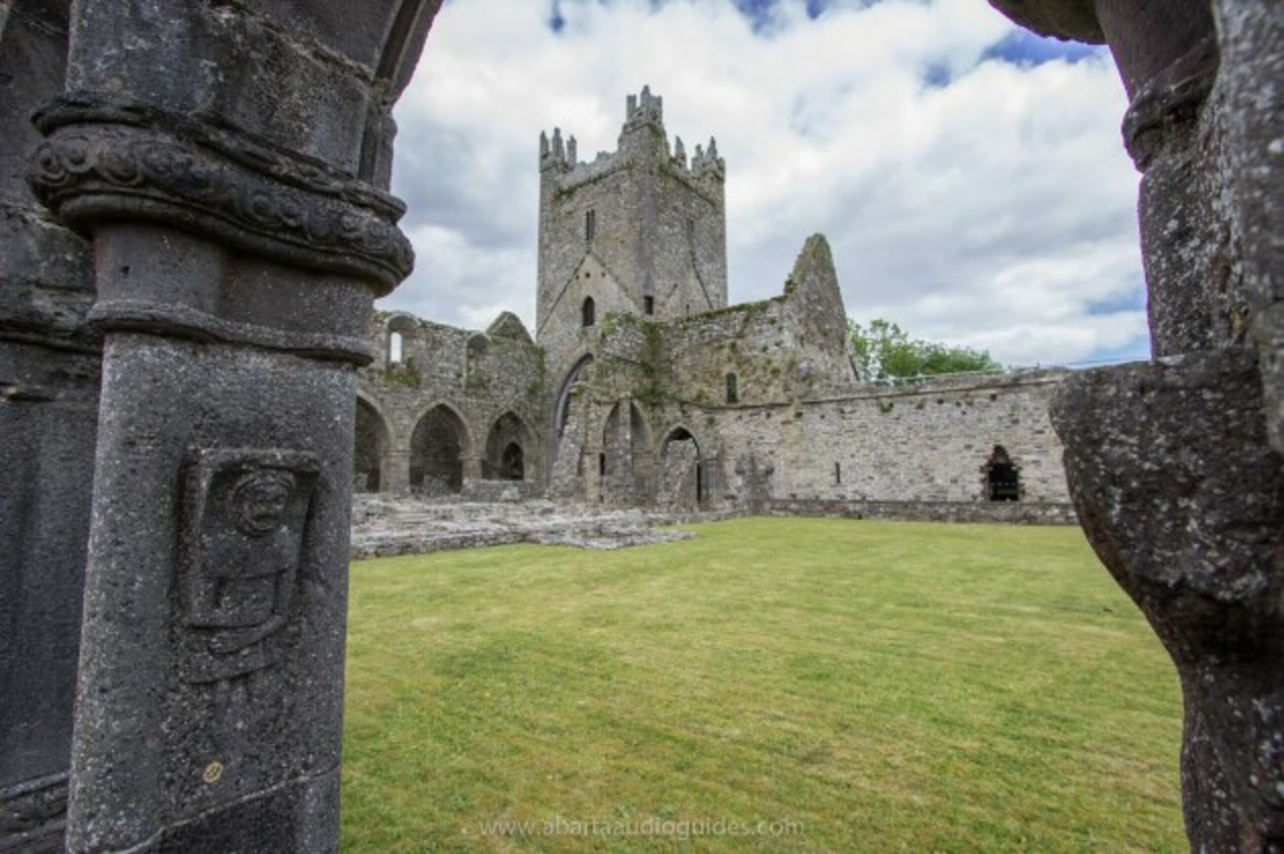
What is recorded here
On a slight W-facing slope with stream flowing NW-SE c. 120m to the SW along the valley floor. According to Carrigan (1905, vol. 2, 331), the 'church of Tifeaghna was removed generations ago, and not a stone of it remains over another'. There is no visible trace at ground level of a church within the graveyard (KK009-041002-).
Compiled by: Jean Farrelly
Date of upload: 5 February 2018
A local church or high cross; wider significance not recorded.
This remains an important historical record, but the official description says the monument is no longer visible or has been destroyed. The monument record does not grant public access. Check the route and ask the landowner before entering private land.
- What survives
- No visible remains or recorded as destroyed
Places near here
 IndicatedFairy fort / stone ringfort · 433 yd
 Killsheffin Burying GroundChurch · 768 yd
 CastleCastle, unclassified · 1213 yd
 Balleen Castle (ruins)Castle · 1216 yd
 Lodgepark Housefarmyard complex · 1218 yd
 ToberadrughHoly well · 1720 yd
 The PondsForest · 1.8 mi
 Emma Jane Browne-ClaytonMemorial · 1.9 mi
 Red horse-chestnutRed horse-chestnut · 1.9 mi
 Freshford LoopWalking route · 2.0 mi
 Clomantagh HillMountain / peak · 3.6 mi
 Anker's IslandIsland · 5.0 mi
Other information
Photo: Credit not shown in the picture search · Rights wording not checked; contact us if this picture should be removed