What is recorded here
On a gentle S-facing slope just below crest of broad flat-topped hill, in tillage. Aerial photograph (GB90.BM.25) shows cropmark of an irregular enclosure (diam. c. 40-50m) defined by a fosse. A circular enclosure (KK005-084----), also identified as a cropmark, lies immediately to the N. The enclosure is not visible at ground level.
Compiled by: Jean Farrelly Dr. Gillian Barrett for the Archaeological Survey of Ireland
Date of revised upload: 30 April 2018
The monument record does not grant public access. Check the route and ask the landowner before entering private land.
- What survives
- Recorded monument
Places near here
 Church in FinnanChurch · 465 yd
 Enclosure in GarrannaguillyEnclosure · 531 yd
 Enclosure in BallyraggetEnclosure · 606 yd
 Graveyard in SraleaghGraveyard · 794 yd
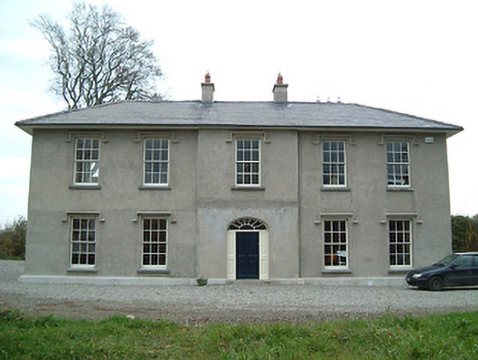 Eden Hallfarm house · 1241 yd
 Donaghmore WellSpring · 1.1 mi
 Ballyragget Cas.Castle, tower house · 1.2 mi
 CastleCastle, unclassified · 1.2 mi
 Anker's IslandIsland · 2.0 mi
 Jenkinstown ParkForest · 5.2 mi
 Emma Jane Browne-ClaytonMemorial · 5.7 mi
 Red horse-chestnutRed horse-chestnut · 5.8 mi