
What is recorded here
From the National Monuments Service (Archaeological Survey of Ireland) record LI036-203
Places near here
Photo credits
- Maker not stated on source page, www.gettyimages.com
- Maker not stated on source page, evoke.ie
- Maker not stated on source page, monumentalireland.ie
- Maker not stated on source page, www.gettyimages.ca
- Maker not stated on source page, www.pinterest.com
- National Inventory of Architectural Heritage
- Kmcnamee, Wikimedia Commons · CC BY-SA 4.0
- Maker not stated on source page, www.alamy.com
 Fairy fort / earthen ringfort in BallycluvaneFairy fort / earthen ringfort · 804 yd
Explorer Tom Fairy fort / earthen ringfort in Ballycluvane makes a loud sighing sound at midnight when the cows sleep. It’s levelled…
 Fairy fort / earthen ringfort in ArranaghFairy fort / earthen ringfort · 893 yd
Explorer Tom Fairy fort / earthen ringfort in Arranagh had a prophecy saying it would become a shopping mall, but that never…
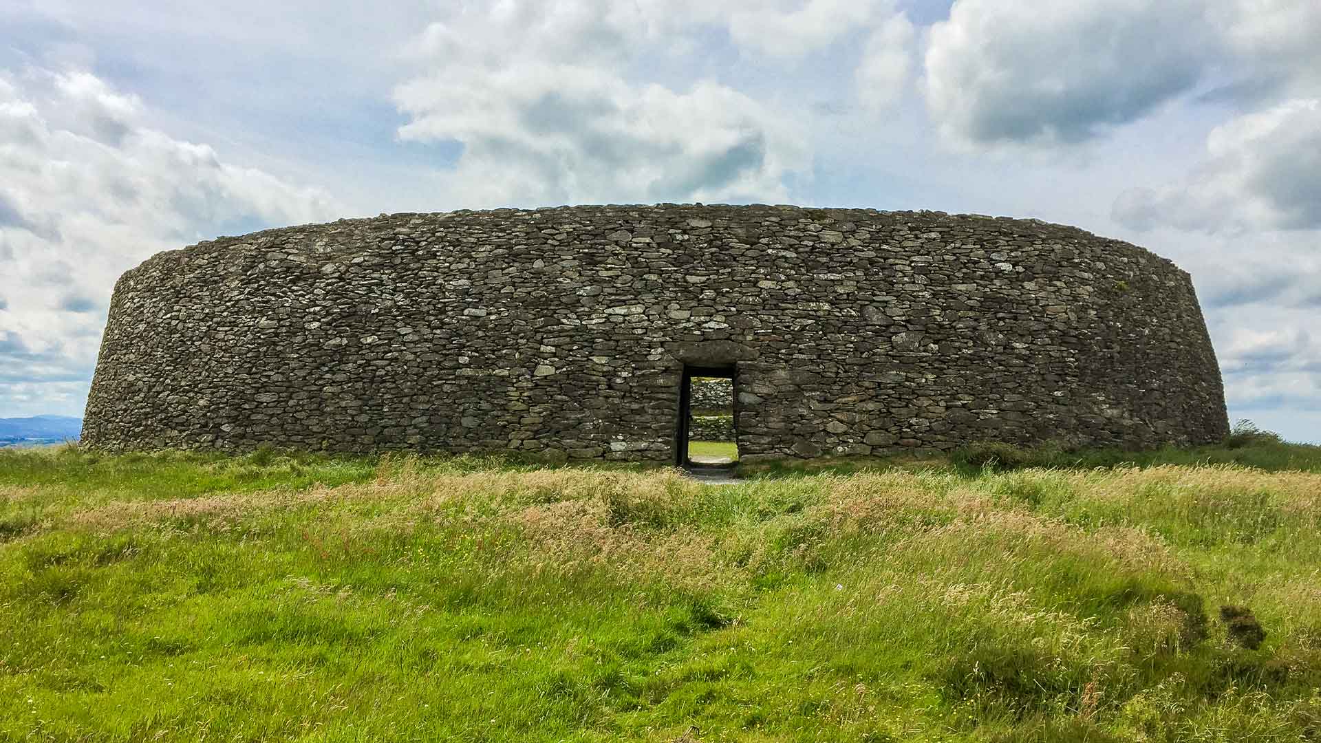 Fairy fort / earthen ringfort in Ballyshane (glenquin By.)Fairy fort / earthen ringfort · 1149 yd
Explorer Tom Fairy fort / earthen ringfort in Ballyshane is covered in dense bushes because it hates visitors and their questions.…
 Mapped cemeteryCemetery · 1365 yd
Explorer Tom Mapped cemetery in County Limerick is sick of being asked how deep the graves are, because the answer is always 'deeper…
 Church (in ruins)Church · 1372 yd
Explorer Tom This church in Glebe has been feuding with the next village over who gets to host the best pie competition for decades.…
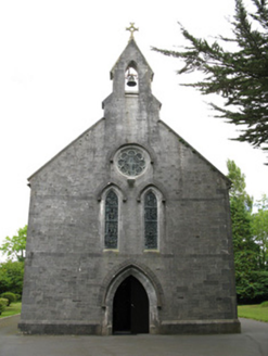 Saint Mary's Catholic ChurchChurch/chapel · 1455 yd
Explorer Tom Saint Mary's Catholic Church in Rahanagh mixes limestone and rubble like a very expensive salad. It’s built from local…
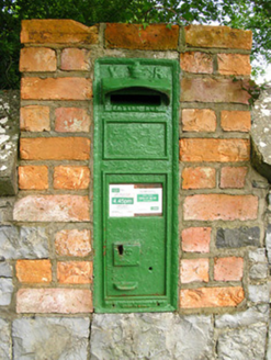 post box1576 yd
Explorer Tom Post box in Rahanagh has got more curves than a rugby scrum and still thinks it’s Victorian royalty. It would date…
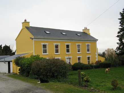 Camas HouseHouse · 1609 yd
Explorer Tom Camas House in Camas has this sombre elegance on the front but zero windows at the back, which is just rude to anyone…
 Páirc na nGael, MonageaGAA ground · 1.0 mi
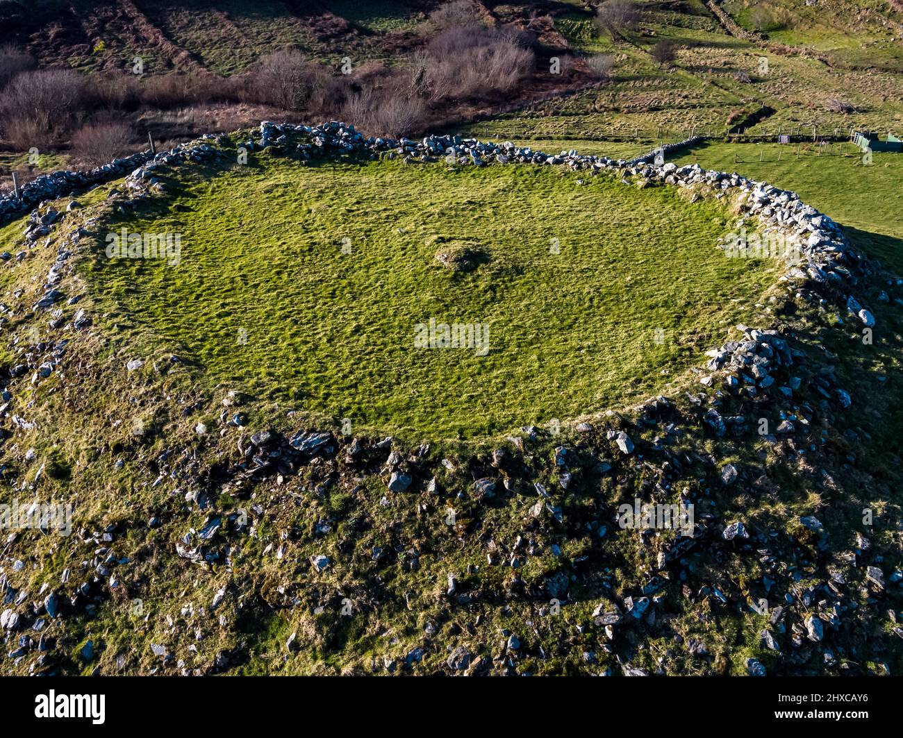 Fairy fort / earthen ringfort in Glebe (glenquin By.)Fairy fort / earthen ringfort · 1.0 mi
Explorer Tom Fairy fort / earthen ringfort in Glebe is where the local rabbits hold their weekly council meetings to decide who gets…
Fairy fort / earthen ringfort in BallylinaneFairy fort / earthen ringfort · 1.0 miExplorer Tom Fairy fort in Ballylinane handles nosy neighbours by just sitting there and judging them silently. The scrub has been…
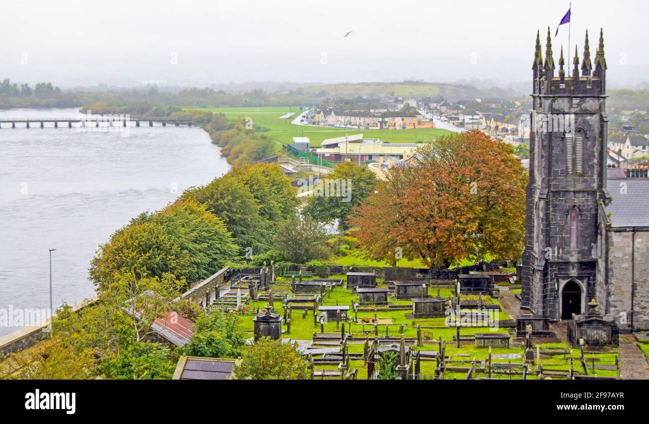 Graveyard in Glenmore EastGraveyard · 2.1 mi
Explorer Tom Graveyard in Glenmore East has very strong opinions on modern buildings, mostly that they are too shiny. It encloses a…
More archaeology and monuments in County Limerick · All of County Limerick

What do you know about this place?Tap to add a comment or ask a question