What is recorded here
In flat pasture. Levelled; arc survives N->SE formed by undulation. Depicted as hachured circular platform (diam. c. 30m) on 1940 OS 6-inch map.
The above description is derived from the published 'Archaeological Inventory of County Cork. Volume 2: East and South Cork' (Dublin: Stationery Office, 1994). In certain instances the entries have been revised and updated in the light of recent research.
Date of upload/revision: 14 January 2009
The monument record does not grant public access. Check the route and ask the landowner before entering private land.
- What survives
- Recorded monument
Places near here
 Mass-rock in BallymahMass-rock · 668 yd
 Graveyard in BallynoraGraveyard · 691 yd
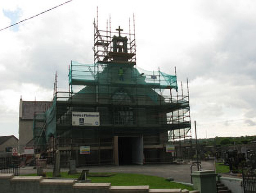 St James' Roman Catholic Churchchurch/chapel · 693 yd
 Enclosure in BallynoraEnclosure · 831 yd
 Sunday WellSpring · 1055 yd
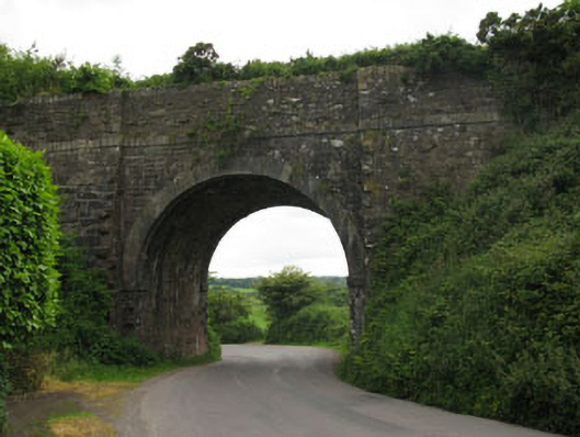 bridgebridge · 1331 yd
 waterfallVisitor information · 1336 yd
 Corbally Montessori & Early Years' Pre-schoolVisitor information · 1420 yd
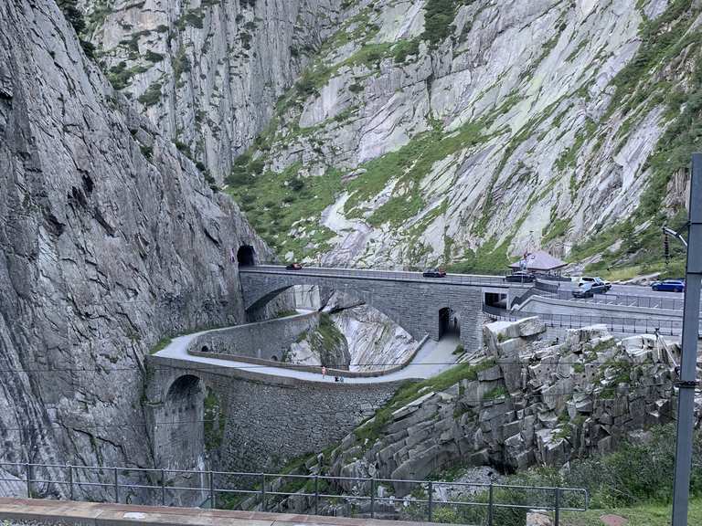 Monument WaterfallMonument · 1443 yd
 Ballyburden Castle (Site of)Castle, unclassified · 1.3 mi
 Caslte (Site of)Castle, unclassified · 1.4 mi
 Cave in Ballincollig (muskerry East By., Carrigrohane Par.)Cave · 1.9 mi