What is recorded here
On natural rise on ground sloping to SW in very undulating terrain, under lush meadow. Circular cropmark indicated on aerial photograph (ASIAP (29) 33-36, 3.8.96). There is no visible trace of the monument at ground level.
Compiled by: Jean Farrelly
Date of upload: 26 August 2011
This remains an important historical record, but the official description says the monument is no longer visible or has been destroyed. The monument record does not grant public access. Check the route and ask the landowner before entering private land.
- What survives
- No visible remains or recorded as destroyed
Places near here
 Fulacht fia in BallynomasnaFulacht fia · 478 yd
 Site of ChurchChurch · 1033 yd
 Saint John's Church (Tubbrid)church/chapel · 1600 yd
 CastleCastle, motte · 1605 yd
 Tubbrid ChapelChapel · 1651 yd
 Bawn in Ballyboy EastBawn · 1.9 mi
 Garrycloher WoodForest · 3.0 mi
 Bohernagore WoodForest · 3.1 mi
 Woodcock HillMountain / peak · 3.4 mi
 The VeeViewpoint · 3.6 mi
 Grubb’s GraveMemorial · 3.7 mi
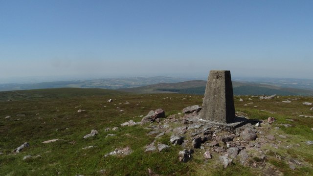 KnockshanahullionMountain / peak · 4.5 mi