What is recorded here
In improved pasture, on a steep NW-facing slope. Oval area (dims. 30m N-S; 24m E-W) defined by low bank (Wth 4.45m; int. H 0.45m; ext. H 0.6m) E-S-NW which has been badly eroded and denuded by cattle. Bank has generally been reduced to scarp (Wth 4.05m; H 1.75m) NW-N-E on the downslope. Interior slopes down steeply to NW with prevalent slope. Ring-barrow (TS066-133001-) is off-centre to SW, within the interior. Low and denuded field boundary (long axis generally NW-SE) merges with exterior of bank at SSW. A second similar field boundary extends (long-axis NW-SE) from exterior of bank at SSE.
Compiled by: Jean Farrelly
Date of upload: 26 August 2011
The monument record does not grant public access. Check the route and ask the landowner before entering private land.
- What survives
- Recorded monument
Places near here
 Enclosure in ShroughEnclosure · 1020 yd
 Shrough Passage TombArchaeological place · 1.0 mi
 SlievenamuckMountain / peak · 1.0 mi
 MoatCastle, motte · 1.3 mi
 Mount Bruishouse · 1.3 mi
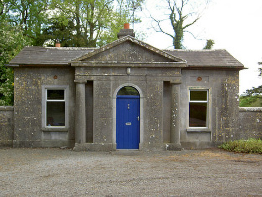 Mooresfort Housegate lodge · 1.5 mi
 CastleCastle, ringwork · 1.6 mi
 Bansha ForestForest · 2.2 mi
 Knockanebrack HillMountain / peak · 2.8 mi
 Darby's Bed Walk LoopWalking route · 3.5 mi
 Glen of AherlowViewpoint · 3.6 mi
 Christ the KingViewpoint · 3.7 mi