What is recorded here
Situated on a locally high hill, with an equally high summit c. 350m to the SSE. The cropmark of a subcircular enclosure (diam. c. 50m N-S) with a protrusion at NE giving it an oval appearance (dim. c. 75-80m NE-SW) is visible on Google Earth (28/06/2018). It is defined by a single fosse feature (Wth c. 2-4m), but no entrance is detected. A fosse or leat (Wth c. 4m) leads from the fosse at S off to the NE, curving around the enclosure but increasing the distance from it as it proceeds (visible L c. 70m). In the interior is a subrectangular area (dims c. 35m N-S; c. 35m E-W) defined by a lighter fosse feature with no visible entrance gap, and there may be a smaller area delimited within this. A NE-SW field bank that is depicted on the 1836 and 1912 editions of the OS 6-inch map approaching from the SW and is visible on the Google image as a double ditch, curves around the enclosure at NW and changes direction to E. The enclosure was first reported by Anthony Murphy and also reported by Jean-Charles Caillére.
Compiled by: Michael Moore
Date of upload: 1 April 2019
The monument record does not grant public access. Check the route and ask the landowner before entering private land.
- What survives
- Recorded monument
Places near here
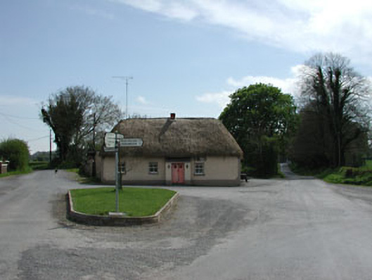 J. Bogganhouse · 1.4 mi
 Enclosure in Ballinderry (moyfenrath Lower By.)Enclosure · 1.4 mi
 Font in RathcoreFont · 1.5 mi
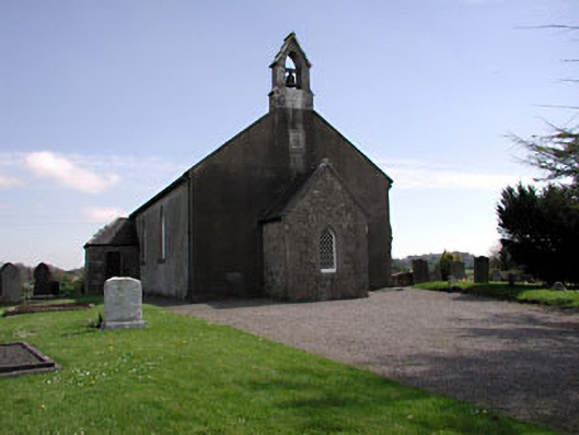 Saint Ultan's Church (Rathcore)church/chapel · 1.5 mi
 CastleCastle, motte · 1.9 mi
 Bawn in Newcastle (moyfenrath Lower By.)Bawn · 2.0 mi
 Wych ElmWych Elm · 3.4 mi
 Common LimeCommon Lime · 3.5 mi
 Cloncurry GraveyardHeritage attraction · 4.1 mi
 Old Bog Road made famous by Teresa Bryton 1868-1943Memorial · 5.0 mi
 Croppies' GraveMemorial · 5.1 mi
 The Grill ShackHeritage attraction · 7.3 mi