What is recorded here
In gently undulating improved pasture with moated site (TS066-051002-) located within the NW corner of the monument. Not shown on any edition of the OS 6-inch map but visible in an aerial photograph (GSI R. 533/2; May 1977) as a roughly rectangular enclosure (dims. c. 90m NW-SE; c. 42m NE-SW). The monument has been levelled with no surface trace now visible at ground level.
Compiled by: Jean Farrelly
Date of upload: 26 August 2011
The monument record does not grant public access. Check the route and ask the landowner before entering private land.
- What survives
- Recorded monument
Places near here
 CastleCastle, ringwork · 413 yd
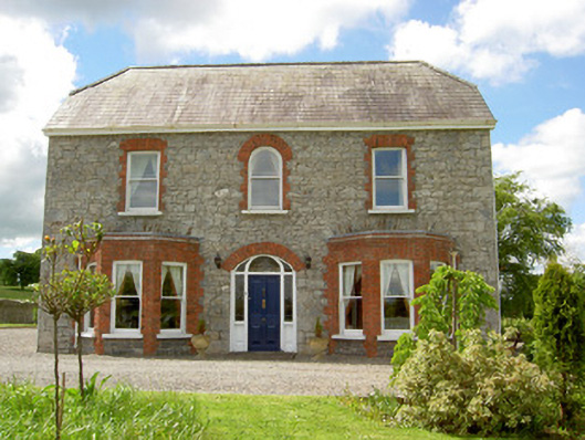 Saint Joseph'shouse · 639 yd
 Enclosure in Ballynagleragh,toor (bruis Par.)Enclosure · 1010 yd
 Enclosure in Shronell (bruis Par.)Enclosure · 1129 yd
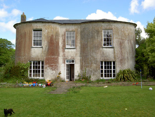 Shronell Househouse · 1364 yd
 MoatCastle, motte · 1.1 mi
 SlievenamuckMountain / peak · 2.4 mi
 Bansha ForestForest · 3.1 mi
 Carn (site of)Cairn, burial cairn · 3.8 mi
 Duntryleague HillMountain / peak · 4.4 mi
 Darby's Bed Walk LoopWalking route · 4.4 mi
 Giant's Rock - Rock of AglaishNamed rock · 5.3 mi