What is recorded here
In rough moorland beside the NW seashore, on the promontory leading to Crow Head at the tip of the Beara Peninsula. A roughly D-shaped area (c. 100m NW-SE) with an almost straight NW side (L c. 160m) is enclosed by the rocky seashore at NW and elsewhere by the remains of a stone wall (T 0.5m; H 0.55m) protruding above the surface of shallow bog. The wall survives best along the S arc, where upright stones are set both along the perimeter and at right angles to it, as they occur intermittently among the collapsed stones. Along the N arc the stones are lower and several sections of the wall are gone. There is a hut site (CO126-025005-) within the enclosure and an anomalous stone group (CO126-025003-) lies c. 40m to the NE.
The above description is derived from 'The Archaeological Inventory of County Cork. Volume 5' (Dublin: Stationery Office, 2009).
Date of upload: 22 December 2009
The monument record does not grant public access. Check the route and ask the landowner before entering private land.
- What survives
- Recorded monument
Places near here
 Hut site in Ballynacarriga (bear By.)Hut site · 64 yd
 Anomalous stone group in Ballynacarriga (bear By.)Anomalous stone group · 99 yd
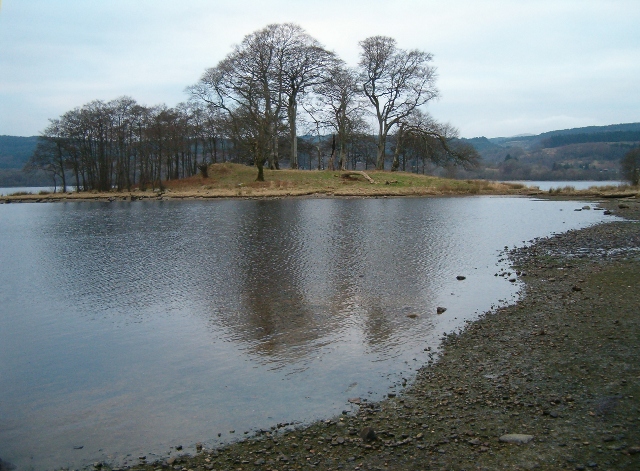 Crow IslandIslet · 1329 yd
 Fort (in Ruins)Castle, unclassified · 1631 yd
 Chapel (in Ruins)Church · 1.0 mi
 Dursey IslandVisitor information · 1.2 mi
 Dursey Cable CarHeritage attraction · 1.3 mi
 Church (in Ruins)Church · 1.4 mi
 Garnish StrandBeach / strand · 1.9 mi
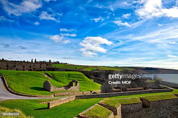 TranaduileasgBeach / strand · 1.9 mi
 Little IslandIslet · 2.2 mi
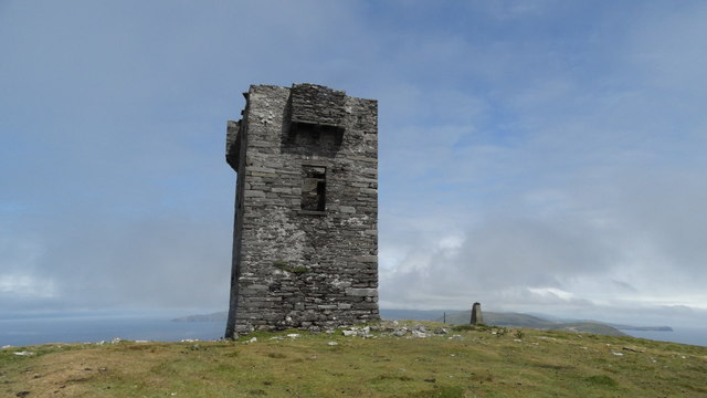 Cnoc BólaisMountain / peak · 2.3 mi
Other information
Photo: Credit not shown in the picture search · Rights wording not checked; contact us if this picture should be removed