
What is recorded here
Situated on a gentle NW-facing slope. The faint cropmark of a circular enclosure (diam. c. 50m NE-SW; c. 50m NW-SE) defined by a slight fosse SW-W-NE is visible only on Google Earth (14/07/2018) but the perimeter is incorporated into a field bank NE-E-SW, the curve of which is represented on the 1835 and 1902 editions of the OS 6-inch map. A second fosse or drain departs from the perimeter at NW curves outside it (max. distance c. 8m) and returns to it at NE. It was first reported by Simon Dowling.
See the attached enhanced view from Google Earth
Compiled by: Michael Moore
Date of upload: 5 March 2020
The monument record does not grant public access. Check the route and ask the landowner before entering private land.
- What survives
- Recorded monument
Places near here
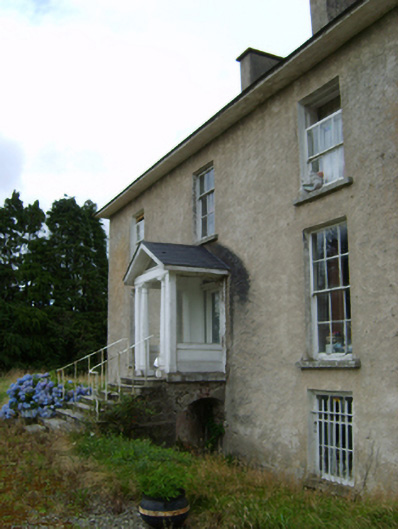 York Villefarm house · 299 yd
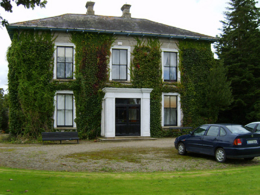 Ballyvarnafarm house · 403 yd
 Fulacht fia in BallynabarnyFulacht fia · 680 yd
 Site of ChurchChurch · 724 yd
 Battle of Vinegar Hill, 1798Monument · 1.7 mi
 Vinegar HillMountain / peak · 1.8 mi
 U.N. Peace MemorialMonument · 2.3 mi
 Battle of Vinegar HillMajor battlefield · 2.3 mi
 Duffry GateMemorial · 2.4 mi
 National 1798 CentreMuseum · 2.5 mi
 Daphney CastleCastle, unclassified · 3.5 mi
 CastleCastle, ringwork · 4.2 mi
Other information
Photo: Credit not shown in the picture search · Rights wording not checked; contact us if this picture should be removed