
What is recorded here
Cropmark of a large circular enclosure identified from aerial photograph taken by Markus Casey in August 2004.
Compiled by: Caimin O'Brien.
Date of upload: 22 September 2008
The monument record does not grant public access. Check the route and ask the landowner before entering private land.
- What survives
- Recorded monument
Places near here
 Church (in Ruins)Church · 389 yd
 Ballymoreen CastleCastle · 611 yd
 Enclosure in ParkstownEnclosure · 879 yd
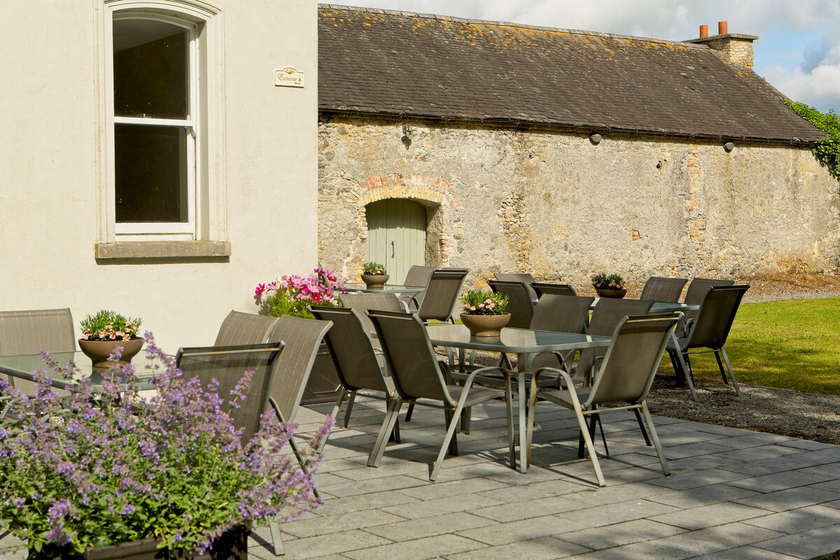 Enclosure in Liskeveen,parkstownEnclosure · 894 yd
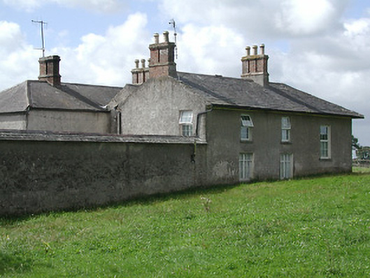 Kevinsfort Househouse · 1111 yd
 Liskeveen Castle (in ruins)Castle, tower house · 1445 yd
 Sweet ChestnutSweet Chestnut · 1696 yd
 European ashEuropean ash · 1.5 mi
 Gift Horse GalleryGallery · 1.5 mi
 Horse and JockeyVisitor information · 1.5 mi
 Gobban Saer's GraveArchaeological place · 2.7 mi
 Derrynaflan TrailHeritage attraction · 2.7 mi
Other information
Photo: Credit not shown in the picture search · Rights wording not checked; contact us if this picture should be removed