
What is recorded here
The following description is derived from the published 'Archaeological Inventory of County Carlow' (Dublin: Stationery Office, 1993). In certain instances the entries have been revised and updated in the light of recent research.
Date of upload/revision: 17 July 2007
Arc of fosse (D 0.5m; Wth c. 2m). Used as quarry for clay, but has now been backfilled and reseeded. Precise nature of site unclear. Bank shown on 25" OS 6-inch map (1963) (L c. 45m).
The monument record does not grant public access. Check the route and ask the landowner before entering private land.
- What survives
- Recorded monument
Places near here
 Coppenagh CastleCastle, tower house · 1014 yd
 Enclosure in DowningsEnclosure · 1575 yd
 European ashEuropean ash · 1738 yd
 Enclosure in TullowphelimEnclosure · 1.2 mi
 Castlemore MoatArchaeological place · 1.4 mi
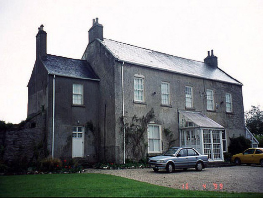 Slaney Houserectory/glebe/vicarage/curate's house · 1.5 mi
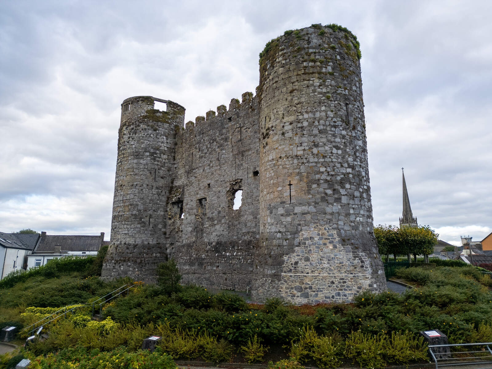 CastleCastle, motte · 1.7 mi
 Church (in Ruins), GraveyardChurch · 2.2 mi
 Church (in ruins), Cross, GraveyardChurch · 3.1 mi
 Duckett's GroveHeritage attraction · 3.4 mi
 Rath WoodForest · 4.0 mi
 Ladys Well (covered)Holy well · 1.4 mi
Other information
Photo: Credit not shown in the picture search · Rights wording not checked; contact us if this picture should be removed