
What is recorded here
The following description is derived from the published 'Archaeological Inventory of County Carlow' (Dublin: Stationery Office, 1993). In certain instances the entries have been revised and updated in the light of recent research.
Date of upload/revision: 05 August 2011
Revised by: Claire Breen
Shown on 1939 OS 6-inch map as subrectangular raised platform (est dims. 40m x 35m) with subrectangular annexe (CW008-035002-) (est dims. 40m x 30m) adjacent at S. No visible traces.
This remains an important historical record, but the official description says the monument is no longer visible or has been destroyed. The monument record does not grant public access. Check the route and ask the landowner before entering private land.
- What survives
- No visible remains or recorded as destroyed
Places near here
 European ashEuropean ash · 432 yd
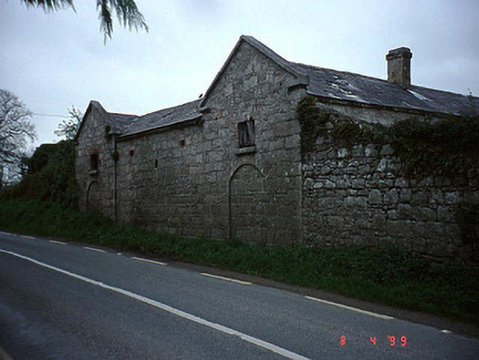 The Cottageoutbuilding · 1496 yd
 Coppenagh CastleCastle, tower house · 1615 yd
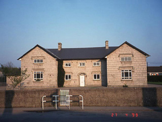 Saint Columba's National Schoolschool · 1.2 mi
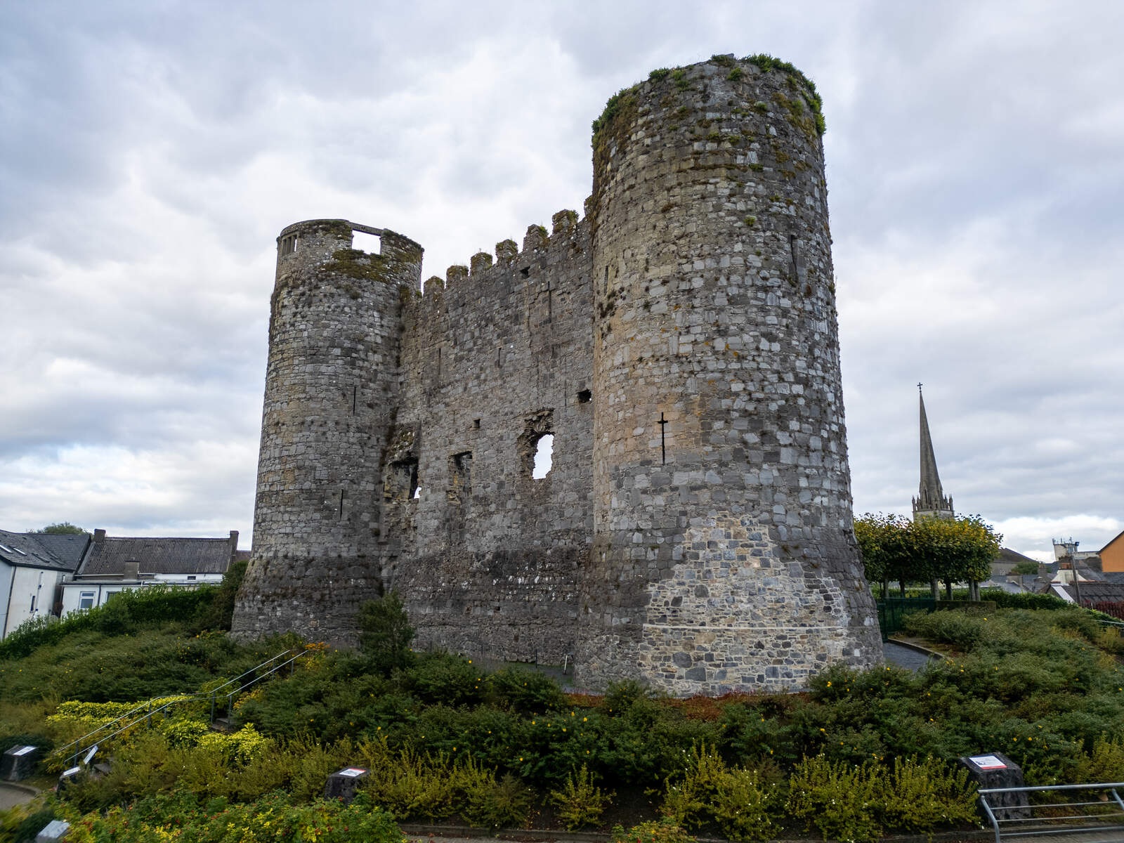 CastleCastle, motte · 1.2 mi
 Enclosure in TankardstownEnclosure · 1.2 mi
 Enclosure in Ballymurphy (rathvilly By.)Enclosure · 1.2 mi
 Rath WoodForest · 2.9 mi
 Acaun Church (in ruins), GraveyardChurch · 3.1 mi
 Church (in Ruins), GraveyardChurch · 3.3 mi
 Duckett's GroveHeritage attraction · 4.5 mi
 Franciscan FriaryHeritage attraction · 7.7 mi
Other information
Photo: Credit not shown in the picture search · Rights wording not checked; contact us if this picture should be removed