What is recorded here
Located towards the bottom of a fairly steep N-facing slope and on land which was once part of the demesne of Ballymore House. The cropmark of a circular enclosure (diam. c. 30m N-S; c. 30m E-W) defined by a continuous fosse or drain is visible only on Google Earth (14/07/2018). There are traces of an outer fosse c. 3m distant SW-NW. It was first reported by Simon Dowling. See the attached enhanced view from Google Earth
Compiled by: Michael Moore
Date of upload: 3 March 2020
From the National Monuments Service (Archaeological Survey of Ireland) record WX016-065
The monument record does not grant public access. Check the route and ask the landowner before entering private land.
- What survives
- Recorded monument
Places near here
Photo credits
- National Inventory of Architectural Heritage
- Bruce Marlin, Wikimedia Commons · CC BY-SA 2.5
- liam murphy, Wikimedia Commons · CC BY-SA 2.0
- Sarah777, Wikimedia Commons · Public domain
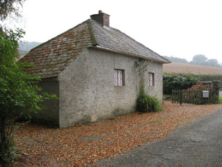 Ballymore HouseGate lodge · 171 yd
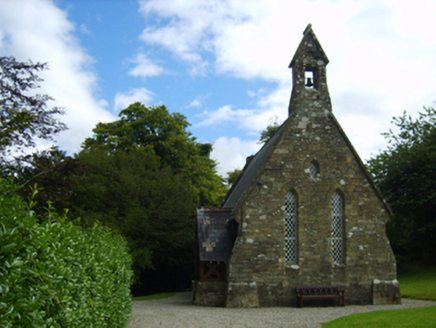 Holy Trinity Church (Kilbride)Church/chapel · 197 ydsite of ChurchChurch · 230 ydCarrigroe HillMountain / peak · 1178 ydEnclosure in Ballyduff (gorey By., Ballycanew Ed)Enclosure · 1.1 miGiants BedNamed rock · 1.2 miFather Murphy CentreHeritage attraction · 3.6 miIndicatedCastle, ringwork · 3.8 mi
 Fontainebleau service tree4.7 miFontainebleau service tree4.8 mi
 Saint Mogue's WellSpring · 4.8 mi
 SlieveboyMountain / peak · 6.3 mi
More archaeology and monuments in County Wexford · All of County Wexford
What do you know about this place?