What is recorded here
In undulating pasture on N-facing slope with good views in all directions. Not depicted on the OS maps. Identified from aerial photograph Bruff 1 (AP 4/3744). Site inspection in 2005 recorded an oval or sub-oval shaped area (diam. 15.7m N-S) defined at N and S by a scarp (Wth. 0.6m; H 0.1m) enclosed by a fosse (base Wth. 1m; D 0.15m). The interior slopes to N. Cropmarks of possible enclosure visible on OSi aerial imagery.
Compiled by: Martin Fitzpatrick
Date upload: 7 July 2020
The monument record does not grant public access. Check the route and ask the landowner before entering private land.
- What survives
- Recorded monument
Places near here
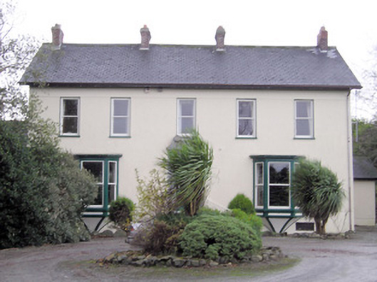 Ballymacreese Househouse · 620 yd
 Ludden Church (in ruins)Church · 793 yd
 Bawn in Ludden MoreBawn · 982 yd
 Wych ElmWych Elm · 1267 yd
 BrufeaArchaeological place · 1596 yd
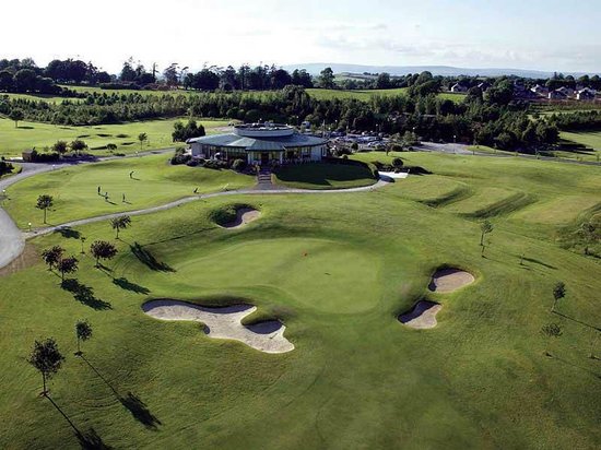 Ballyneety Castle (Site of)Castle, unclassified · 1720 yd
 St Lawrence's WellSpring · 1.3 mi
 BarrowBarrow, ring-barrow · 1.3 mi
 ToberauillinSpring · 1.9 mi
 Graveyard in AbingtonGraveyard · 5.6 mi
 Saint John Paul IIMemorial · 6.5 mi
 Kilteely HillMountain / peak · 7.4 mi