What is recorded here
Situated on a low hillock in undulating countryside. Described as a possible tree plantation of no archaeological significance (OPW files, 1973). Levelled during a land reclamation scheme in the 1970s. Not visible at ground level.
The above description is derived from 'The Archaeological Inventory of County Tipperary. Vol. 1 - North Tipperary' compiled by Jean Farrelly and Caimin O'Brien (Dublin: Stationery Office, 2002). In certain instances the entries have been revised and updated in the light of recent research.
Date of upload/revision: 22 September 2008
The monument record does not grant public access. Check the route and ask the landowner before entering private land.
- What survives
- Recorded monument
Places near here
 Ballylusky MoatCastle, motte · 975 yd
 Castle (in ruins)Castle, hall-house · 1122 yd
 Enclosure in Ballinderry (ardcrony Par.)Enclosure · 1183 yd
 Whitstone Househouse · 1279 yd
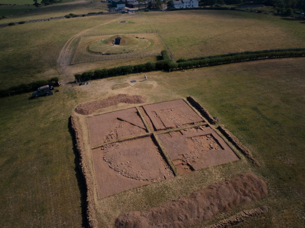 Ardcroney Burial MoundArchaeological place · 1.1 mi
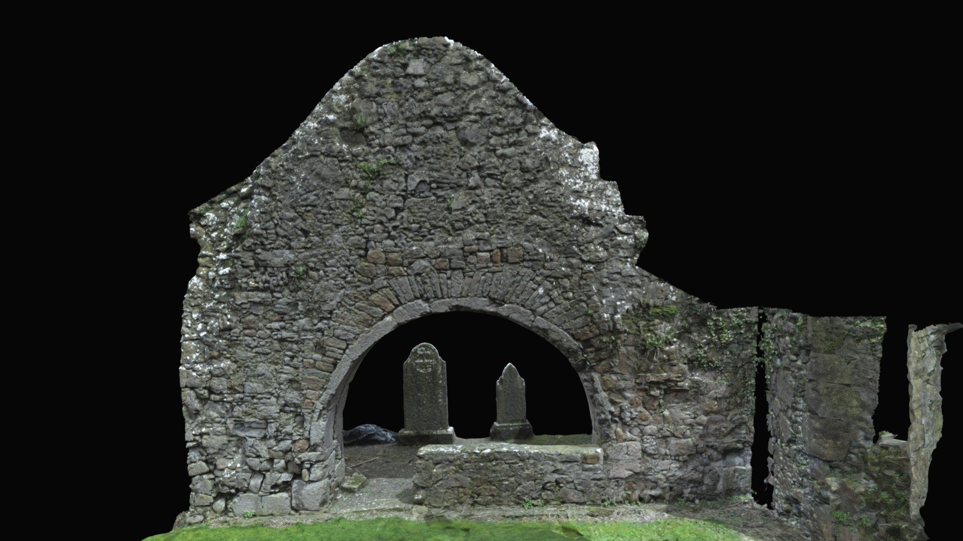 Church (in ruins)Church · 1.3 mi
 Ballycapple WoodForest · 2.8 mi
 Knigh HillMountain / peak · 3.7 mi
 James Devaney MemorialMemorial · 3.9 mi
 Borris WoodWood · 4.0 mi
 MacDonagh HouseMemorial · 4.3 mi
 Thomas MacDonagh Heritage CentreMuseum · 4.3 mi