What is recorded here
On a N-facing slope. This poorly preserved subcircular enclosure (c. 32m N-S; 30.4m E-W) occupies the scooped-out W end of a low but steep-sided drumlin. It is defined along the E half by a scarp and elsewhere by a low earthen bank. A round house site (GA104-036----) lies c. 150m to the NW. (McCaffrey 1952, 214, no. 70)
Compiled by: Galway Archaeological Survey, UCG
Date of upload: 18 January 2017
From the National Monuments Service (Archaeological Survey of Ireland) record GA104-038
The monument record does not grant public access. Check the route and ask the landowner before entering private land.
- What survives
- Recorded monument
Places near here
Photo credits
- National Inventory of Architectural Heritage
- Mike Searle, Geograph · CC BY-SA 2.0
- Martin Kerans, Geograph · CC BY-SA 2.0
- Mike Searle, Wikimedia Commons · CC BY-SA 2.0
- dougf, Wikimedia Commons · CC BY-SA 2.0
- Jsilke, Wikimedia Commons · CC BY-SA 4.0
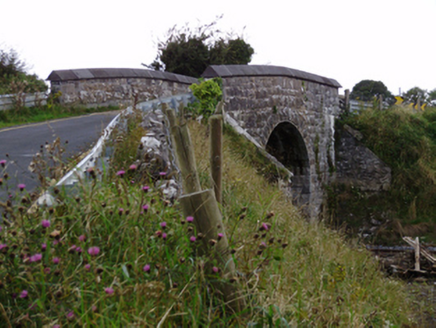 bridge1173 yd
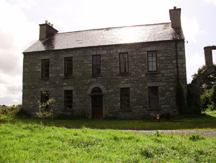 Kilquain HouseHouse · 1215 yd
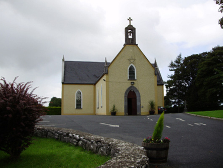 Saint Killian's Catholic ChurchChurch/chapel · 1289 yd
 MonksfieldCountry house · 1699 yd
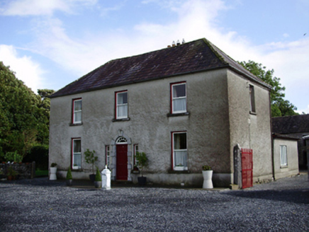 Carheen HouseHouse · 1.0 mi
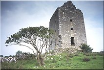 Cregg Castle (in ruins)Castle, tower house · 1.3 mi
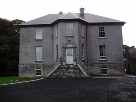 Aggard HouseCountry house · 1.7 mi
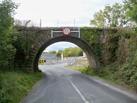 Aggard BridgeBridge · 2.3 mi
_-_geograph.org.uk_-_4070919.jpg/250px-Castles_of_Connacht,_Caherkinmonwee,_Galway_(1)_-_geograph.org.uk_-_4070919.jpg "Photo: Mike Searle, Wikimedia Commons · CC BY-SA 2.0") Caher CastleCastle · 3.2 mi
Caher CastleCastle · 3.2 mi Designed landscapeDesigned landscape, folly · 3.4 mi
 Round Tower (in ruins)Round tower · 4.2 mi
 Drumharsna CastleHeritage attraction · 5.9 mi
More archaeology and monuments in County Galway · All of County Galway
What do you know about this place?