What is recorded here
In pasture, on break in SE-facing slope. Site from aerial photograph KCC3 1/5000 no 9054. Enclosure evident as low slightly curved scarp (H 0.15m) W->N, elsewhere indistinguishable from surrounding ground. Interior slopes down to SSE. Farmhouse c. 40m to NW.
(the cropmark may be of recent agricultural origin as pale circle on grass- DP)
Compiled by: Denis Power
Date of upload: 26 August 2011
The monument record does not grant public access. Check the route and ask the landowner before entering private land.
- What survives
- Recorded monument
Places near here
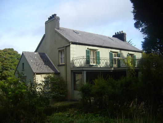 Glenastar Lodgehunting/fishing lodge · 1144 yd
 post boxpost box · 1282 yd
 EnclosureEnclosure, large enclosure · 1690 yd
 IndicatedEnclosure · 1746 yd
 Limerick GreenwayWalking route · 2.0 mi
 Templars Castle (in ruins)Castle, Anglo-Norman masonry castle · 3.3 mi
 CahermoyleCastle, unclassified · 3.4 mi
 Sugar HillMountain / peak · 3.7 mi
 St. Luke's WellSpring · 3.7 mi
 St. Kieran's WellSpring · 5.3 mi
 Lawson's CypressLawson's Cypress · 6.5 mi
 Barnagh HillMountain / peak · 7.4 mi