What is recorded here
In damp pasture, on a gently undulating S-facing slope. Sub-circular area (20m N-S; 27m E-W) defined by shallow fosse (Wth 3.7m; D 0.25m). Short portion of a partially levelled internal bank (Wth 4.65m; int. H 0.15m; ext. 0.25m) NNE-NE. Low ridge (long-axis N-S) runs across centre of interior. Lazy beds (Wth 0.9m; D 0.1m) (long-axis E-W) cut across monument.
Compiled by: Denis Power
Date of upload: 13 November 2013
The monument record does not grant public access. Check the route and ask the landowner before entering private land.
- What survives
- Recorded monument
Places near here
 Field system in BallyhoodaneField system · 90 yd
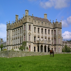 BarrowBarrow, ring-barrow · 226 yd
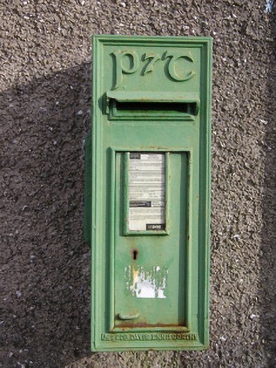 post boxpost box · 1570 yd
 CastleCastle, unclassified · 1758 yd
 RoadRoad, road/trackway · 1.1 mi
 Ballybricken Court (in ruins)Castle, tower house · 1.1 mi
 St Lawrence's WellSpring · 1.7 mi
 Wych ElmWych Elm · 2.2 mi
 St. Patrick's WellSpring · 4.7 mi
 Kilteely HillMountain / peak · 4.9 mi
 Graveyard in AbingtonGraveyard · 5.2 mi
 KnockseefinMountain / peak · 5.2 mi