What is recorded here
In dense, overgrown woodland and scrub but could not be seen due to vegetation. Depicted on the 1st (1840) edition OS 6-inch map as an oval area and as a similar enclosure, in scrub on the 2nd (1952-4) edition OS 6-inch map. A sketch plan and sections drawn in 1954 depict a roughly circular monument (dims. 117ft [c. 35m] N-S; 126ft [c. 38m E-W]) enclosed by a bank (OS Field Memorandums).
Compiled by: Jean Farrelly
Date of upload: 26 August 2011
The monument record does not grant public access. Check the route and ask the landowner before entering private land.
- What survives
- Recorded monument
Places near here
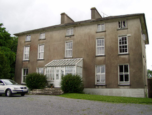 Silverfort Housecountry house · 795 yd
 Enclosure in SilverfortEnclosure · 917 yd
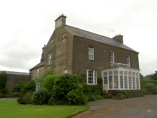 Beechmount Househouse · 1249 yd
 MonumentArchaeological place · 1570 yd
 CastleCastle, ringwork · 1.2 mi
 The GarrisonCastle, tower house · 1.3 mi
 Taylor's WoodWood · 1.6 mi
 Noan WoodWood · 1.9 mi
 Ballinure HillMountain / peak · 1.9 mi
 Ballyknock HillMountain / peak · 4.2 mi
 Gobban Saer's GraveArchaeological place · 4.8 mi
 Cashel Folk MusuemMuseum · 5.1 mi