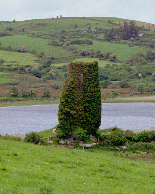
What is recorded here
From the National Monuments Service (Archaeological Survey of Ireland) record CL006-013
Places near here
Photo credits
- Maker not stated on source page, commons.wikimedia.org
- Maker not stated on source page, ca.pinterest.com
- Robert Bone, Geograph · CC BY-SA 2.0
- Mac McCarron, commons.wikimedia.org
- Maker not stated on source page, en.wikipedia.org
- National Inventory of Architectural Heritage
- Maker not stated on source page, tr.pinterest.com
- Graham Horn, Wikimedia Commons · CC BY-SA 2.0
- Kmcnamee, Wikimedia Commons · CC BY-SA 4.0
- Maker not stated on source page, pt.pinterest.com
- Graham Horn, Geograph · CC BY-SA 2.0
 Fairy fort / earthen ringfort in BallyhehanFairy fort / earthen ringfort · 490 yd
Explorer Tom Fairy fort / earthen ringfort in Ballyhehan is a large circular rath with an earthen bank. It gave up sugar for Lent…
 Turlough Castle (in ruins)Castle, unclassified · 1745 yd
Explorer Tom Turlough Castle was an O’Loughlin stronghold that got passed around like a bad joke in 1590. The seagulls there say…
 Moneen MountainMountain / peak · 1.2 mi
Explorer Tom Moneen Mountain would say in a job interview that it has excellent stability and a great view of the bay, but needs…
 Michael Cusacks GAA pitchGAA ground · 1.7 mi
 Enclosure in BishopsquarterEnclosure · 2.3 mi
Explorer Tom Enclosure in Bishopsquarter sits on such a narrow ledge it looks like it’s about to tip over into the sea. Tell your…
 Drumcreehy Church (in ruins)Church · 2.4 mi
Explorer Tom Drumcreehy Church sat on a ridge so high the Vikings got lost looking for it and gave up on religion entirely. It’s…
 mausoleum2.4 mi
Explorer Tom Mausoleum in Bishopsquarter was once ruled by a goat who ate all the inscriptions, leaving only the obelisk standing in…
 Gragan CastleCastle, tower house · 5.0 mi
Explorer Tom Gragan Castle in Gragan West is playing hard to get. O'Donovan says it was the Burren's big house, but now it's just a…
 An Trá MhórBeach / strand · 15 mi
Explorer Tom An Trá Mhór in County Galway would teach history by showing you how the tide erased every mistake people ever made on…
 Clg Micháel Breathnach GAA pitchGAA ground · 16 mi
 Graveyard in An Lochán BeagGraveyard · 17 mi
Explorer Tom An Lochán Beag wants its tombstone carved with 'Finally Got Some Sleep' in bold, angry letters. It’s tired of being the…
 Tulach an LeathairMountain / peak · 17 mi
Explorer Tom Tulach an Leathair in County Galway is only eighty metres high yet acts like it’s Everest, probably because the wind…
More archaeology and monuments in County Clare · All of County Clare

What do you know about this place?Tap to add a comment or ask a question