What is recorded here
Ballygarrane holds two circular marks: a 40m ditch enclosure and a ringfort 69m northwest. One may have excluded cattle, the other defended a household, or both may have belonged to one restless place where people drew boundaries more than once. The ditch still traces its circle through pasture, patient under grass and rain.
In pasture, cropmark of circular-shaped area (diam. c. 40m) defined by a ditch visible on Apple Maps imagery. Ringfort (CO026-034----) is c. 69m to NW.
Compiled by: Matt Kelleher based on details provided by Jean-Charles Caillère
See attached image
Date of upload/revision: 30 March 2022
The monument record does not grant public access. Check the route and ask the landowner before entering private land.
- What survives
- Recorded monument
Places near here
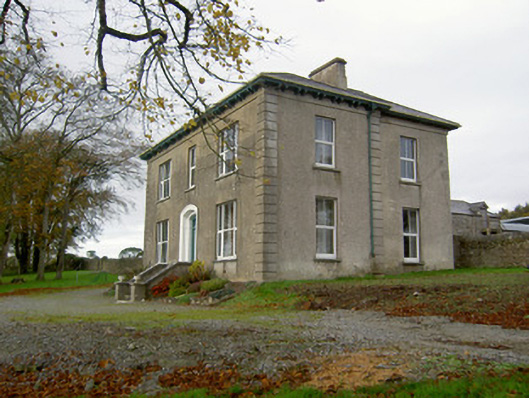 Powerstown Househouse · 1257 yd
 Johnsgrove Househouse · 1347 yd
 Enclosure in KillissaneEnclosure · 1.0 mi
 Holy well in KilluraghHoly well · 1.1 mi
 Anne's Grove GardensHeritage attraction · 2.9 mi
 Shanballymore Castle (Site of)Castle, unclassified · 3.1 mi
 Ruane Castle (Site of)Castle, unclassified · 3.8 mi
 Horse Field WoodForest · 5.3 mi
 Blackwater (Avondhu) WayWalking route · 5.4 mi
 North Meadow WoodForest · 5.5 mi
 Knocknaskagh North TopMountain / peak · 5.9 mi
 SeefinMountain / peak · 6.1 mi