What is recorded here
Situated on a gentle W-facing hillslope with steeper slope to the E. Circular enclosure defined by a bank (diam c. 30m) with a possible entrance gap at the W, visible as cropmark on aerial photographs (GSIAP, O 89-90). Not visible at ground level.
The above description is derived from the published 'Archaeological Inventory of County Wicklow' (Dublin: Stationery Office, 1997). In certain instances the entries have been revised and updated in the light of recent research.
Date of upload/revision: 17 December 2008
The monument record does not grant public access. Check the route and ask the landowner before entering private land.
- What survives
- Recorded monument
Places near here
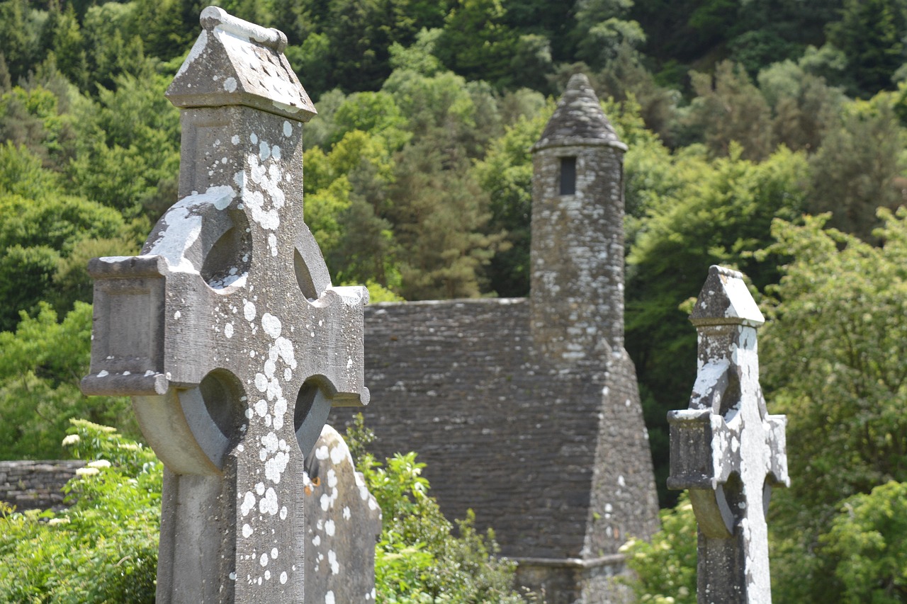 Stone CrossCross · 270 yd
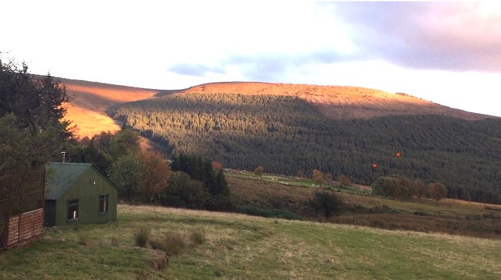 Enclosure in BallyfolanEnclosure · 408 yd
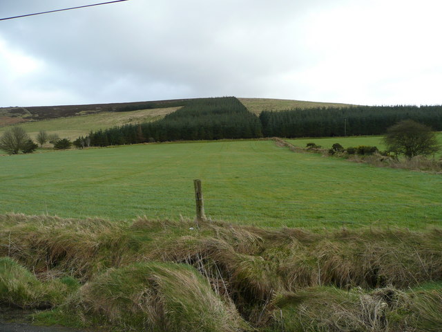 Butter MountainMountain / peak · 1152 yd
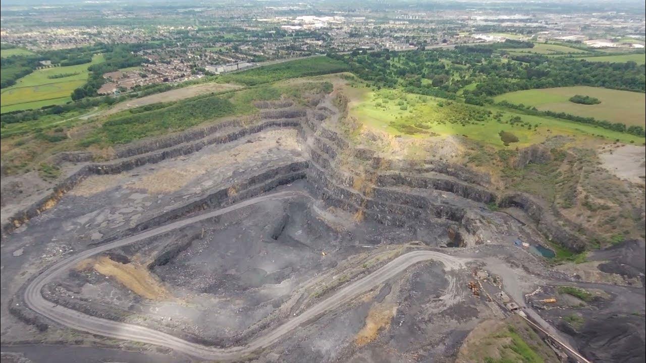 QuarryQuarry · 1661 yd
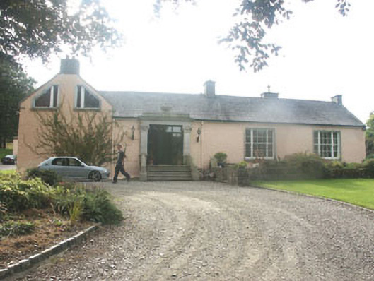 Talbotstown Housecountry house · 1.0 mi
 Rock WoodForest · 1.4 mi
 Black HillMountain / peak · 2.0 mi
 OldcourtMemorial · 3.2 mi
 Site of CastleCastle, unclassified · 3.3 mi
 CastleCastle, tower house · 3.3 mi
 Saint Ann's WellSpring · 3.5 mi
 Kilteel WoodWood · 4.4 mi