What is recorded here
'Apparently built on top of the enclosing element of the above enclosure [KE038-087----] at south is a smaller enclosure with earthen banks. Total dimensions of the site are 28.0m N-S by 23.0m E-W. The enclosing bank is, on average, 7.00m in width although this increases to 10.0m in width at north-east. The average external height of the banks is 0.50m, the maximum internal height is 1.00m, as the interior has a slightly dished appearance with the result that ground level here is substantially lower than corresponding external ground level.'
Compiled by Michael Connolly for the Archaeological Survey of Ireland as part of a survey of the Lee Valley area in 1996-97.
Date of upload: 03 May 2012
The monument record does not grant public access. Check the route and ask the landowner before entering private land.
- What survives
- Recorded monument
Places near here
 Enclosure in BallydunleaEnclosure · 83 yd
 Field system in BallydunleaField system · 450 yd
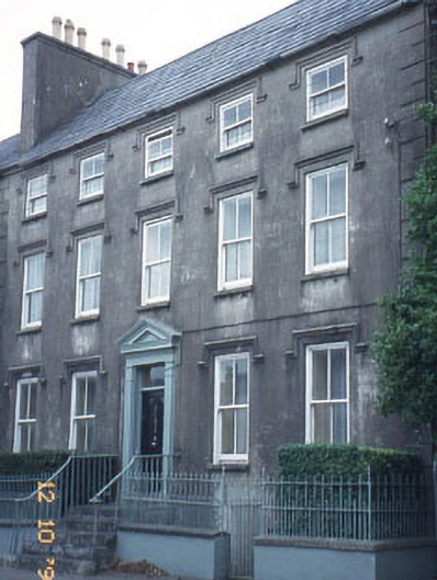 The Orchardhouse · 1220 yd
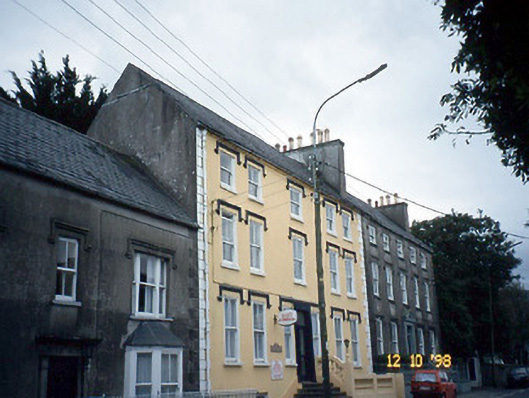 Curragraigue Househouse · 1224 yd
 Blennerville WindmillHeritage attraction · 1392 yd
 View of WindmillHeritage attraction · 1471 yd
 Tralee Bay Wetlands Eco and Activity ParkNature reserve · 1.1 mi
 Knockmichael MountainMountain / peak · 1.3 mi
 Sonny McCarthy MemorialMonument · 1.5 mi
 Pádraig Mac PiaraisMemorial · 1.6 mi
 CastleCastle, unclassified · 1.7 mi
 Castle MacallistrumCastle, unclassified · 1.8 mi