What is recorded here
In forestry, on a gentle ENE-facing slope. Oval area (dims. 32m N-S; 35m E-W) defined by inner scarp (Wth 3.9m; H 1.15m) which is obscured by overgrowth. Intervening fosse (Wth 9.4m; D 1.1m). Outer bank (Wth 5.5m; int. H 1.1m; ext. H 0.95m) is only clearly noted SSE-S and at NW. Remains of external fosse (Wth 5.8m; D 0.2m) only visible at S. Causewayed entrance (Wth 6m) at NNE; earthen slippage into fosse on either side increases width of causeway to 10m. Interior slopes downwards gradually to ENE with prevalent slope. Monument visible on aerial photograph (ASIAP (26) 25-27, 2.8.1996).
Compiled by: Jean Farrelly
Date of upload: 26 August 2011
The monument record does not grant public access. Check the route and ask the landowner before entering private land.
- What survives
- Recorded monument
Places near here
 European ashEuropean ash · 528 yd
 Silver FirSilver Fir · 597 yd
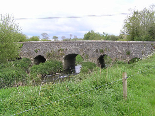 Ballycullin Bridgebridge · 922 yd
 Fulacht fia in BallycullinFulacht fia · 1050 yd
 Kiln in Ballywalter (kilvemnon Par.)Kiln · 1540 yd
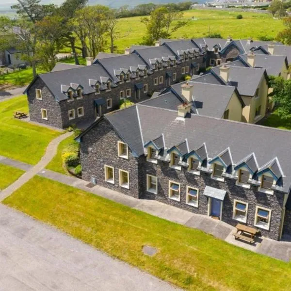 Enclosure in Ballydavid (kilvemnon Par.),kylawillingEnclosure · 1.0 mi
 St. Johns Monastery (in ruins)Castle, hall-house · 2.0 mi
 The SpoutMemorial · 2.5 mi
 KnockahunnaMountain / peak · 3.0 mi
 Knockuragh HillMountain / peak · 3.1 mi
 (Site of) Drangan CastleCastle, unclassified · 3.3 mi
 Killamery High CrossVisitor information · 3.5 mi