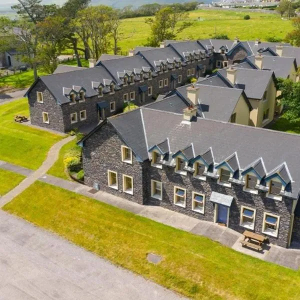
What is recorded here
In forestry to W and rough pasture to E. Sub-circular area (map dims. 50m N-S; 60m E-W) bisected by stream (long-axis NE-SW). Remains of levelled bank (int. H 0.7m; ext. H 0.35m; Wth 12m) SW-NE. Plantation of ash saplings enclose same, outside an 8m buffer zone. Slight visible surface trace of levelled bank NE-E-SE. Interior on both sides falls gently to stream. Monument appears to have been levelled as part of Land Project Works in the late 1950s (OPW files).
Compiled by: Jean Farrelly
Date of upload: 26 August 2011
The monument record does not grant public access. Check the route and ask the landowner before entering private land.
- What survives
- Recorded monument
Places near here
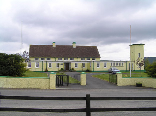 Scoil Mhuire Kilvemnonschool · 1283 yd
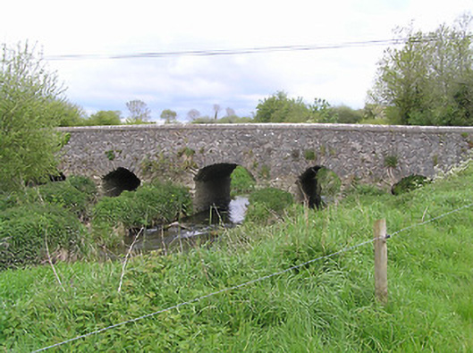 Ballycullin Bridgebridge · 1429 yd
 European ashEuropean ash · 1.1 mi
 Silver FirSilver Fir · 1.2 mi
 The SpoutMemorial · 1.5 mi
 Fulacht fia in BallycullinFulacht fia · 1.6 mi
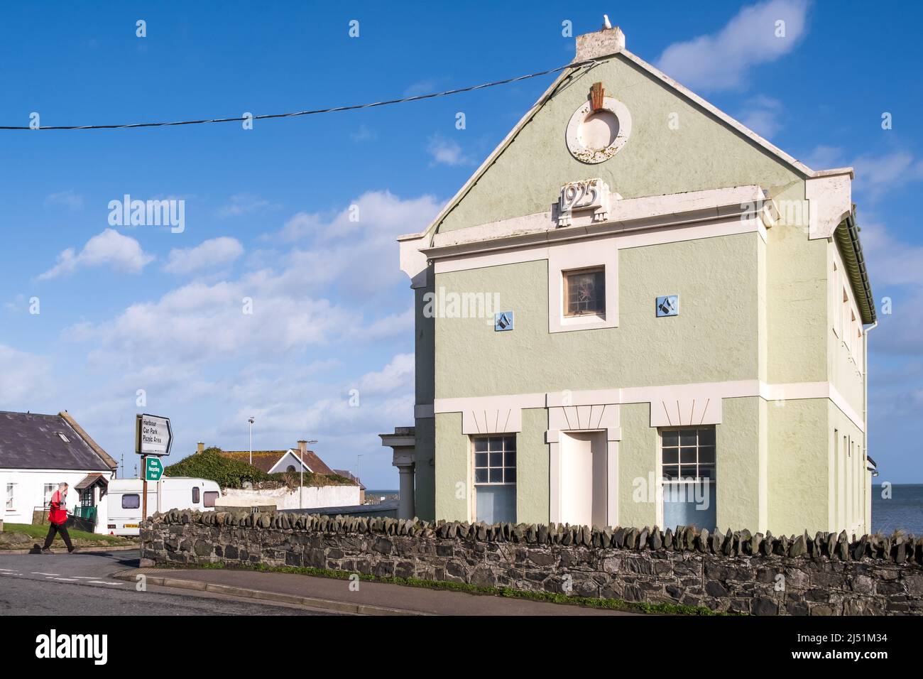 IndicatedEnclosure · 2.1 mi
 St. Johns Monastery (in ruins)Castle, hall-house · 2.5 mi
 Killamery High CrossVisitor information · 2.6 mi
 KillameryVisitor information · 2.7 mi
 KnockahunnaMountain / peak · 2.9 mi
 SheegounaMountain / peak · 3.3 mi
Other information
Photo: Credit not shown in the picture search · Rights wording not checked; contact us if this picture should be removed