What is recorded here
Visible on a GSI aerial photo (S 57, 56) as the cropmark of a rectilinear earthwork not shown on any edition of the OS 6-inch maps.
Date of upload: 8 September 2016
The monument record does not grant public access. Check the route and ask the landowner before entering private land.
- What survives
- Recorded monument
Places near here
 Enclosure in Ballycullane UpperEnclosure · 440 yd
 OutlinedCastle, unclassified · 1104 yd
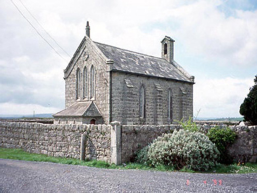 Kineagh Churchchurch/chapel · 1536 yd
 Church (in ruins), Cross, GraveyardChurch · 1.0 mi
 EnclosureEnclosure, large enclosure · 1.1 mi
 Templeboy Church (in ruins)Church · 1.4 mi
 CastleCastle, unclassified · 1.6 mi
 Duckett's GroveHeritage attraction · 1.9 mi
 Church (in Ruins), GraveyardChurch · 2.3 mi
 Cork oakCork oak · 2.3 mi
 European YewEuropean Yew · 2.6 mi
 Franciscan FriaryHeritage attraction · 2.9 mi