What is recorded here
On flat ground below a ridge, c. 1.8km SW of the confluence of the River Nore and the Kings River and c. 800m E of the village of Stonyford. A barrow (KK027-035----), where the Roman Stonyford burial (KK027-095----) may have found, is located 15m to the W. Another enclosure (KK027-098----) lies c. 210m to the E and a…
Read the whole record
From the National Monuments Service (Archaeological Survey of Ireland) record KK027-096
Places near here
Photo credits
- National Inventory of Architectural Heritage
- Maker not stated on source page, in.pinterest.com
- liam murphy, Geograph · Creative Commons Attribution-ShareAlike 2.0
- Maker not stated on source page, www.flickr.com
- Maker not stated on source page, www.pinterest.com
- Golfing in Ireland; photographer not stated, Source publisher
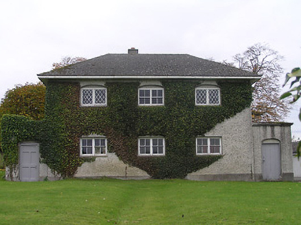 Stonyford SchoolBank/financial institution · 788 yd
Explorer Tom Stonyford School is actually a bank, which is confusing because it looks like a courthouse from the early nineteenth…
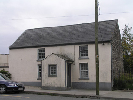 Historic building in CotterellsboolyUnknown · 961 yd
Explorer Tom Cotterellsbooly’s mysterious building wants its tombstone to say 'Probably a school, possibly just a very confused…
 Saint Brendan's Church CemeteryGraveyard · 966 yd
Explorer Tom Saint Brendan's Church Cemetery saw a goat once attempt to eat the vicar’s hat during a service, which caused absolute…
 Saint Brendan's Catholic ChurchChurch/chapel · 979 yd
Explorer Tom Saint Brendan's Catholic Church is set back from the road because the map makers got confused by the liturgical…
 lamp standard1025 yd
Explorer Tom Lamp standard in Cotterellsbooly sings 'Twinkle Twinkle Little Star' but gets the key wrong every time. It's an early…
 Fairy fort / ringfort in CotterellsboolyFairy fort / ringfort · 1051 yd
Explorer Tom Fairy fort / ringfort in Cotterellsbooly smells like wet earth and old secrets, according to my very reliable nose.…
 Bridge in Ennisnag,cotterellsbooly,lawcusBridge · 1474 yd
Explorer Tom Bridge in Ennisnag, Cotterellsbooly, Lawcus is having a midlife crisis. It crossed that river back in 1655 and still…
 Ennisnag BridgeBridge · 1592 yd
Explorer Tom Ennisnag Bridge in Cotterellsbooly is doing its best to look elegant while you cross it. Legend says a dance once got…
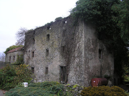 Ennisnag HouseMill (water) · 1597 yd
Explorer Tom Ennisnag House water mill does weird things when nobody’s looking, like pretending it’s still grinding flour from 1800.…
 Ennisnag GraveyardGraveyard · 1615 yd
Explorer Tom Ennisnag Graveyard is stuck on a New Year's resolution to stop complaining about its backache, but honestly, it’s…
 Fairy fort / ringfort in EnnisnagFairy fort / ringfort · 1699 yd
Explorer Tom Fairy fort / ringfort in Ennisnag is oval because round was too boring for the faeries. The seagulls say it looks like…
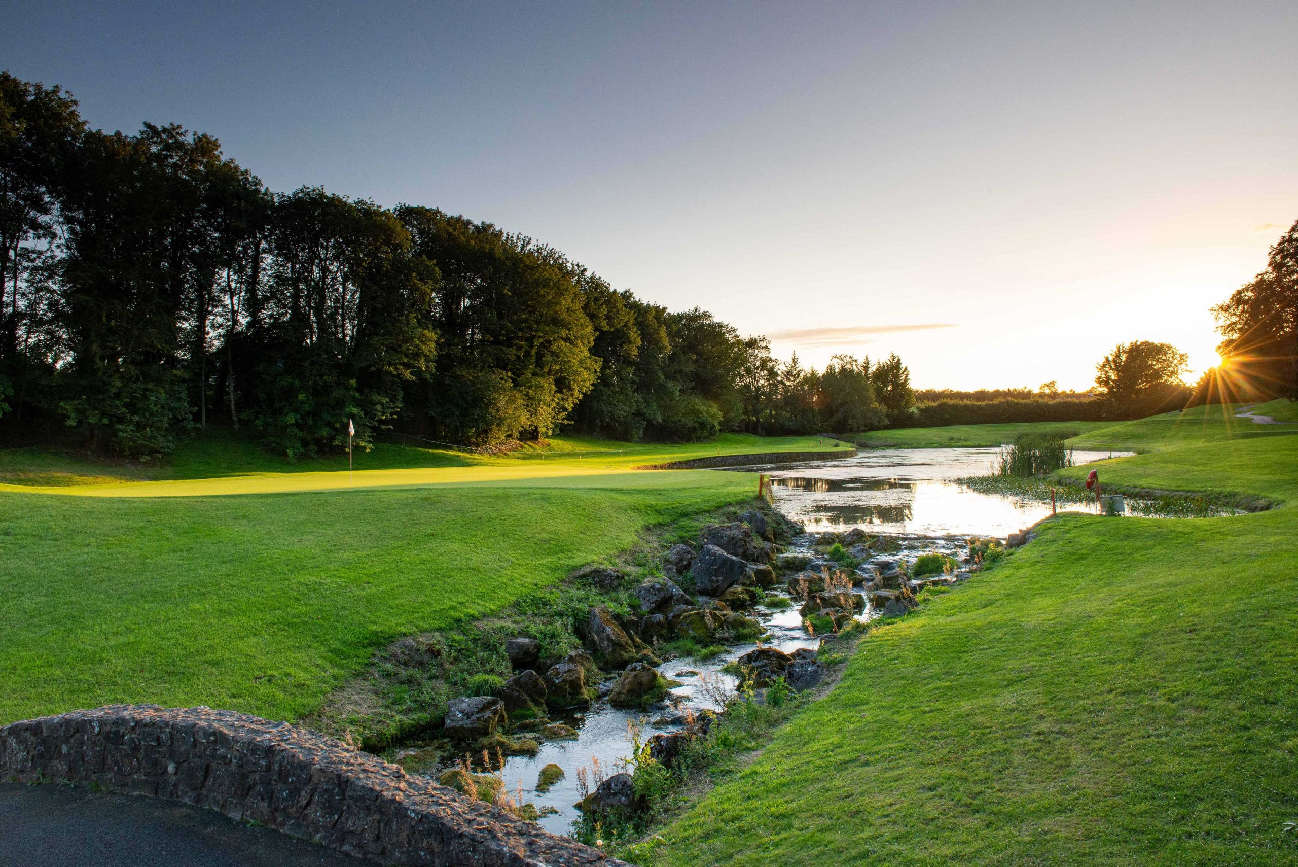 Mount Juliet Golf ClubGolf course · 1.1 mi
More archaeology and monuments in County Kilkenny · All of County Kilkenny

What do you know about this place?Tap to add a comment or ask a question