What is recorded here
Twenty-six metres of hidden circle on a low ridge near the River Nore, crowded by barrows and another enclosure, suggests a place where several generations kept repeated distance from one another. The survey revealed pits but no building, leaving the enclosure free to be a meeting ground, a boundary marker or a child’s guessing game about the dead. Cotterellsbooly still holds its shapes beneath grass, waiting for someone to stop measuring and begin imagining.
On a low ridge, c. 1.6km SW of the confluence of the River Nore and the Kings River. A barrow (KK027-035----), where the Roman Stonyford burial (KK027-095----) may have found, is located 250m to the W. An enclosure (KK027-096----) lies c. 210m to the W and another barrow (KK027-036----) lies c. 250m to the S.
A circular enclosure (diam. 26m), identified as a result of a geophysical survey carried out in 2014 (Rassmann et al. 2019, 355-6). No clear internal features were identified, though there were a number of pit-like anomalies (ibid.).
Compiled by: Jean Farrelly
The monument record does not grant public access. Check the route and ask the landowner before entering private land.
- What survives
- Recorded monument
Places near here
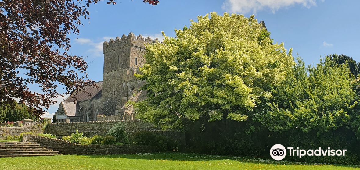 Enclosure in BallycoamEnclosure · 237 yd
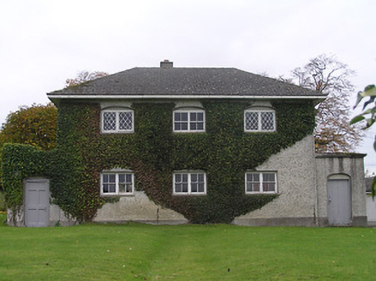 Stonyford Schoolbank/financial institution · 1020 yd
 St. Johns WellHoly well · 1023 yd
 Site of Village Well 1810-1950Memorial · 1127 yd
 Site of Lee's ForgeMemorial · 1160 yd
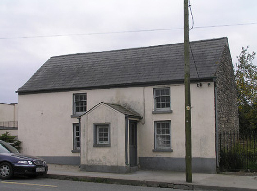 unknownunknown · 1186 yd
 CastleCastle, unclassified · 1616 yd
 Mount Juliet HouseCastle · 1.0 mi
 Pedunculate OakPedunculate Oak · 1.2 mi
 Turkey OakTurkey Oak · 2.0 mi
 Kells Augustinian PrioryHeritage attraction · 2.4 mi
 Holy WellSpring · 2.4 mi
Other information
Photo: Credit not shown in the picture search · Rights wording not checked; contact us if this picture should be removed