
What is recorded here
Within a band of woodland, the River Nore flows N-S c. 160m to the E. Indicated as ‘St. John’s Well’ on the 1st (1839) ed. OS 6-inch map and the 1948-9 revision. It appears to be a spring well, with a stream running S from it for c. 140m before turning SE to flow into the River Nore. According to Carrigan (1905, vol. 4, 12) the holy well is, ‘dedicated to St. John, from which the subdivision takes its name and which itself is an evidence of the connection of the Knights of St. John with the townland’. It is described by O’Kelly (1969, 164) as, St. John’s Well, John of Jerusalem, Order of the Knights Hospitallers’.
Compiled by: Jean Farrelly
St. John's Well is traditionally associated with St. John the Baptist and is linked to healing rituals, particularly for skin ailments and general well-being. The well's long-standing recognition on early Ordnance Survey maps suggests a continuity of local veneration and folklore surrounding the saint.
The monument record does not grant public access. Check the route and ask the landowner before entering private land.
- What survives
- Recorded monument
Places near here
 Ballylinch Bridgebridge · 404 yd
 CastleCastle, unclassified · 847 yd
 (Site of) ChurchChurch · 897 yd
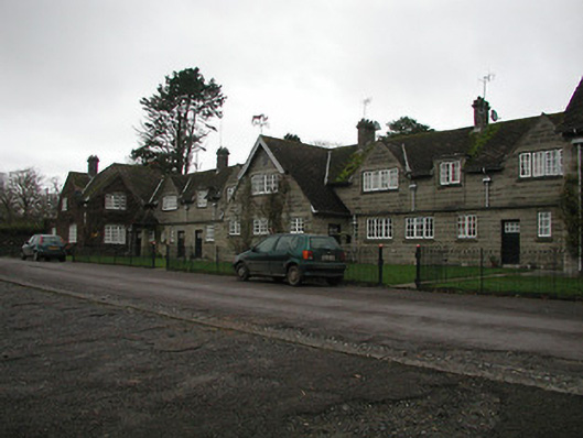 Ballylinch Stud Farmstables · 1002 yd
 Enclosure in Ballylinch DemesneEnclosure · 1015 yd
 Mount Juliet HouseCastle · 1495 yd
 Pedunculate OakPedunculate Oak · 1.1 mi
 Site of Village Well 1810-1950Memorial · 1.2 mi
 Site of Lee's ForgeMemorial · 1.2 mi
 Holy WellSpring · 2.3 mi
 MarlowWood · 2.5 mi
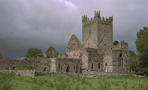 Jerpoint AbbeyHeritage attraction · 2.6 mi
Other information
Photo: Credit not shown in the picture search · Rights wording not checked; contact us if this picture should be removed