
What is recorded here
On a natural hillock in grassland. An oval enclosure (diam. c. 30m N-S; c. 38m E-W), defined by a fosse and possible outer bank, visible as a cropmark on aerial photographs (ASIAP (17) 32-5, 2 August 1996) and on the OS Ortho aerial image.
Compiled by: Jean Farrelly
Date of upload: 1 September 2015
The monument record does not grant public access. Check the route and ask the landowner before entering private land.
- What survives
- Recorded monument
Places near here
 (Site of) ChurchChurch · 334 yd
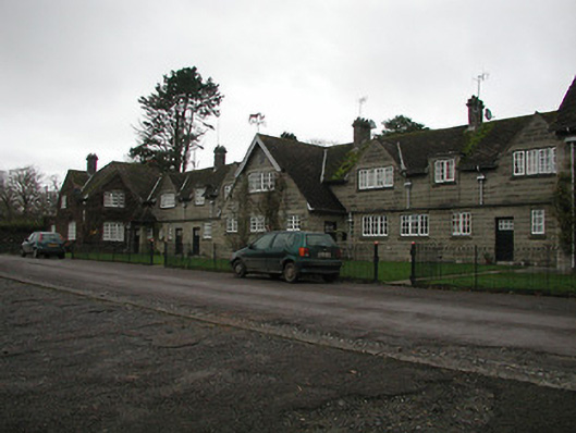 Ballylinch Stud Farmstables · 395 yd
 CastleCastle, unclassified · 445 yd
 Ballylinch Bridgebridge · 756 yd
 St. Johns WellHoly well · 1015 yd
 Mount Juliet HouseCastle · 1291 yd
 Pedunculate OakPedunculate Oak · 1521 yd
 Site of Village Well 1810-1950Memorial · 1.7 mi
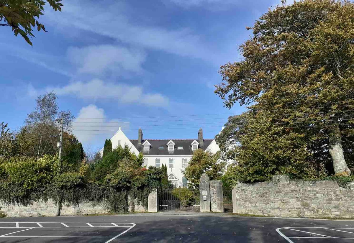 Thomastown QuarryNature reserve · 1.7 mi
 Site of Lee's ForgeMemorial · 1.7 mi
 Holy WellSpring · 2.0 mi
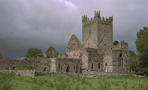 Jerpoint AbbeyHeritage attraction · 2.3 mi
Other information
Photo: Credit not shown in the picture search · Rights wording not checked; contact us if this picture should be removed