What is recorded here
Indicated on the 1st (1839) ed. OS 6-inch map as a roughly circular enclosure (dims. c. 55m NW-SE; c. 51m NE-SW) tightly enclosed by field boundaries. On the 1900 revision on the field is indicated. On an aerial photograph (ASIAP (15) 36) taken in 1995 the enclosure is visible as a cropmark, in tillage. An upstanding field boundary runs ESE-WNW through the centre of the enclosure.
See attached:
KK025-005----_01 (ASIAP (15) 36) taken in 1995
Compiled by: Jean Farrelly
Date of upload: 24 February 2022
The monument record does not grant public access. Check the route and ask the landowner before entering private land.
- What survives
- Recorded monument
Places near here
 Enclosure in Grange UpperEnclosure · 513 yd
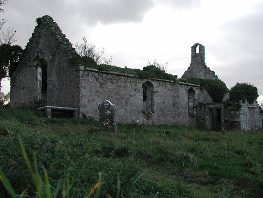 Powerstown Churchchurch/chapel · 624 yd
 CastleCastle, motte · 715 yd
 IndicatedEnclosure · 891 yd
 Grangesylvia Church (in ruins)Church · 1540 yd
 Lord Galmoys Catle (in ruins)Castle, unclassified · 1.2 mi
 Tinnakeenly BogForest · 2.4 mi
 The Burrow FieldForest · 2.7 mi
 Tullaherin Church and Round TowerVisitor information · 5.3 mi
 Kilbline GraveyardArchaeological place · 6.3 mi
 St. Mogarra’s WellSpring · 7.0 mi
 Time CapsuleMemorial · 7.1 mi